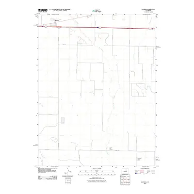
2010 Map of Watkins
USGS Topo · Published 2010About this map
Watkins serves as the primary settlement hub in this high-plains landscape, situated along the major east-west transportation corridors that connect the region to the burgeoning Denver metropolitan area. The 2010 geography reveals a transition from traditional agricultural land to a more structured grid of suburban-style developments and utility-scale ranching. Significant watercourses such as Box Elder Creek and West Sand Creek meander across the terrain, shaping the local topography and influencing the placement of local thoroughfares like N Watkins Rd and N Manila Rd. Genealogists and local historians will find the Running Creek Cemetery in the southern portion of the sheet, providing a vital link to the area's earlier pioneer families. The presence of the Harrington Ranch Airport highlights the specialized aviation infrastructure common to these sprawling ranchlands during the early 21st century.
Find a feature on this map
38 named features on this map. Tap any name to fly to it.
Don’t see what you’re looking for? This feature index may not catch every label — zoom into the map to look around manually.
Map Details
Editions of this 2010 Watkins Map
This is the sole edition of this map. No revisions or reprints were ever made.
Other maps of this area

1890 · East Denver
USGS Topo · 1:125,000

1939 · Coal Creek
USGS Topo · 1:24,000

1940 · Piney Creek
USGS Topo · 1:24,000

1942 · Box Elder School
USGS Topo · 1:31,680

1942 · Piney Creek
USGS Topo · 1:31,680

1942 · Coal Creek
USGS Topo · 1:31,680

1949 · Bennett
USGS Topo · 1:24,000

1951 · Manila
USGS Topo · 1:24,000

1953 · Denver
USGS Topo · 1:250,000

1954 · Watkins
USGS Topo · 1:24,000