
1954 Map of Watkins
USGS Topo · Published 1956About this map
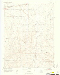
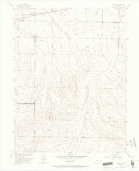
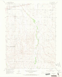
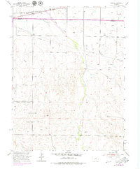
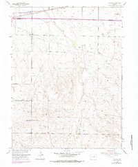
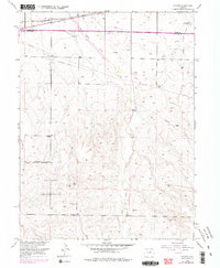
Lowry Air Force Base Bombing Range dominates the southern half of this mid-century landscape, providing a clear record of military land use on the Colorado plains during the Cold War. In the northern section, the settlement of Watkins serves as a small hub centered on the Union Pacific railroad and a cluster of Gasoline Tanks. The terrain is defined by the north-flowing drainages of Box Elder Creek, Lost Creek, and Coal Creek, which are interspersed with numerous Windmill sites and irrigation infrastructure like a Flume and various Wells. Surveyors in 1954 recorded several high-ground landmarks, including the VABM Indian 6063 and multiple Observation Towers, reflecting both the topography and the strategic requirements of the adjacent air base range.
Find a feature on this map
20 named features on this map. Tap any name to fly to it.
Don’t see what you’re looking for? This feature index may not catch every label — zoom into the map to look around manually.
Map Details
Editions of this 1954 Watkins Map
7 editions found
Other maps of this area

1890 · East Denver
USGS Topo · 1:125,000

1939 · Coal Creek
USGS Topo · 1:24,000

1940 · Piney Creek
USGS Topo · 1:24,000

1942 · Box Elder School
USGS Topo · 1:31,680

1942 · Piney Creek
USGS Topo · 1:31,680

1942 · Coal Creek
USGS Topo · 1:31,680

1949 · Bennett
USGS Topo · 1:24,000

1951 · Manila
USGS Topo · 1:24,000

1953 · Denver
USGS Topo · 1:250,000

1955 · Strasburg NW
USGS Topo · 1:24,000