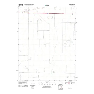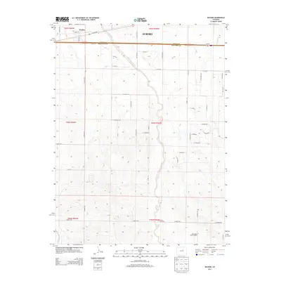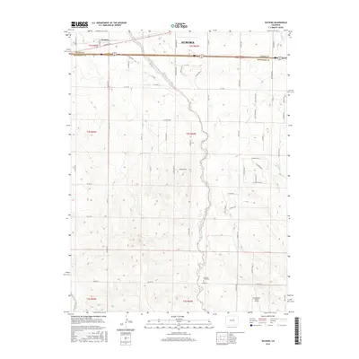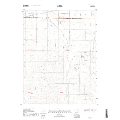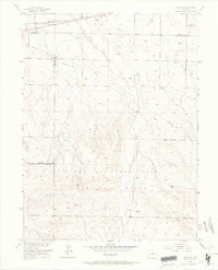
1954 Map of Watkins
USGS Topo · Published 1967About this map
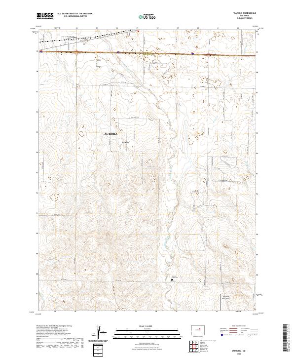
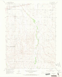
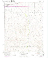
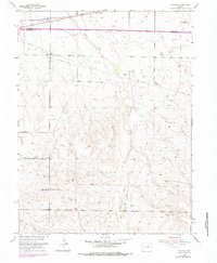
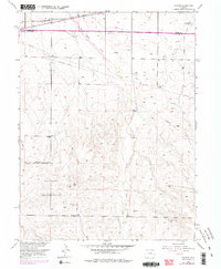
Watkins serves as the primary hub in this mid-century prairie landscape, situated where the Union Pacific railroad and a major highway intersect. The surrounding terrain is defined by the drainage of Box Elder Creek and Lost Creek, where several windmills and ditches illustrate the agricultural infrastructure of the era. A significant portion of the southern and western sections is occupied by the Lowry Air Force Base Military Reservation Boundary, reflecting the strategic military footprint in Colorado during the Cold War. Scattered utility features such as a Television Relay Tower, an Observation Tower, and various telephone lines and pipelines crisscross the plains, documenting the technical development of the region as it supported both military operations and local ranching near the Adams and Arapahoe County line.
Find a feature on this map
16 named features on this map. Tap any name to fly to it.
Don’t see what you’re looking for? This feature index may not catch every label — zoom into the map to look around manually.
Map Details
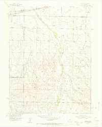
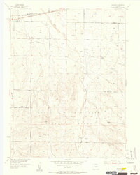
Editions of this 1954 Watkins Map
7 editions found
Historical Maps of Aurora Through Time
6 maps found