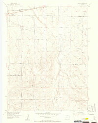
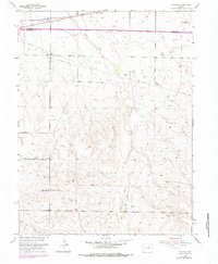
1954 Map of Watkins
USGS Topo · Published 1956About this map
The small settlement of Watkins serves as the focal point of this mid-century survey, situated at the boundary of Adams Co and Arapahoe Co. The northern landscape is defined by the Union Pacific rail corridor and a network of utilities including a prominent Pipeline and Telephone Line. Several intermittent watercourses, notably Box Elder Creek and Lost Creek, carve through the high plains terrain, punctuated by early technological infrastructure like a Television Relay Tower.
Find a feature on this map
15 named features on this map. Tap any name to fly to it.
Don’t see what you’re looking for? This feature index may not catch every label — zoom into the map to look around manually.
Map Details
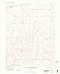
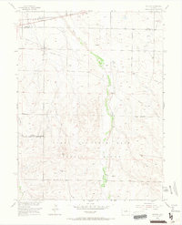
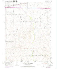
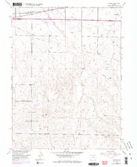
Editions of this 1954 Watkins Map
7 editions found
Other maps of this area

1890 · East Denver
USGS Topo · 1:125,000

1939 · Coal Creek
USGS Topo · 1:24,000

1940 · Piney Creek
USGS Topo · 1:24,000

1942 · Box Elder School
USGS Topo · 1:31,680

1942 · Piney Creek
USGS Topo · 1:31,680

1942 · Coal Creek
USGS Topo · 1:31,680

1949 · Bennett
USGS Topo · 1:24,000

1951 · Manila
USGS Topo · 1:24,000

1953 · Denver
USGS Topo · 1:250,000

1954 · Watkins
USGS Topo · 1:24,000