
1955 Map of Strasburg NW
USGS Topo · Published 1956About this map
Lowry Air Force Base dominates the southern landscape of this mid-century survey, specifically featuring a designated Bombing Range and its Military Reservation Boundary. The terrain is defined by the ephemeral path of Kiowa Creek, which is flanked by infrastructure including an Abandoned Ditch and a Gravel Pit. The northeastern corner highlights the intersection of early twentieth-century transit and commerce, where the Union Pacific railroad runs parallel to the Old Victory Highway. This corridor serves as a vital artery through the High Plains, connecting rural Arapahoe and Adams counties. Scattered across the hills are numerous landmarks such as Observation Towers and a network of Windmills, reflecting a period where military training and agricultural utility coexisted on the Colorado plains.
Find a feature on this map
13 named features on this map. Tap any name to fly to it.
Don’t see what you’re looking for? This feature index may not catch every label — zoom into the map to look around manually.
Map Details
Editions of this 1955 Strasburg NW Map
4 editions found
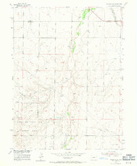
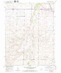
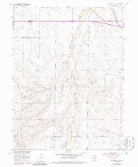
Other maps of this area

1890 · East Denver
USGS Topo · 1:125,000

1949 · Bennett
USGS Topo · 1:24,000

1950 · Roper School
USGS Topo · 1:24,000

1951 · Roper School
USGS Topo · 1:24,000

1951 · Manila
USGS Topo · 1:24,000

1953 · Denver
USGS Topo · 1:250,000

1954 · Watkins
USGS Topo · 1:24,000

1955 · Watkins SE
USGS Topo · 1:24,000

1955 · Strasburg
USGS Topo · 1:24,000

1957 · Denver
USGS Topo · 1:250,000