
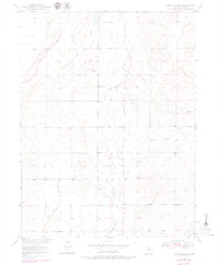
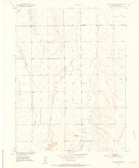
1950 Map of Roper School
USGS Topo · Published 1972About this map
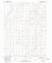
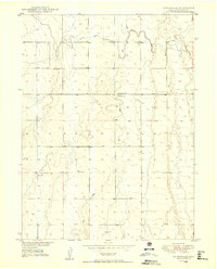
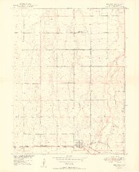
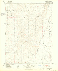
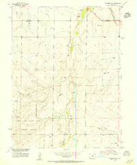
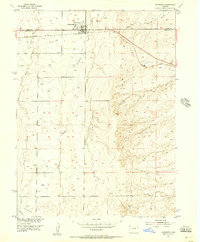
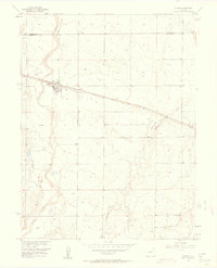
Roper School stands as a central landmark in this high plains region of Adams County, appearing just as the Missouri River Basin development programs were modernizing the western landscape. The topography, mapped during the 1948 and 1949 aerial surveys, reveals a rural economy dependent on a network of Windmills and isolated wells to sustain life between the intermittent drainages. Waterways such as Kiowa Creek, Wolf Creek, and Comanche Creek carve subtle paths through the terrain, defining the boundaries of local ranching and agriculture during the early post-war era. This study, completed by the Geological Survey via plane-table methods, provides a precise look at the section lines and drainage patterns including Spring Gulch before significant suburban expansion reached this portion of the state.
Find a feature on this map
9 named features on this map. Tap any name to fly to it.
Don’t see what you’re looking for? This feature index may not catch every label — zoom into the map to look around manually.
Map Details
Editions of this 1950 Roper School Map
3 editions found
Other maps of this area
1949 · Sunnydale
USGS Topo · 1:24,000
1949 · Bennett
USGS Topo · 1:24,000

1951 · Roper School
USGS Topo · 1:24,000
1951 · Living Springs
USGS Topo · 1:24,000
1951 · Leader NW
USGS Topo · 1:24,000

1952 · Leader SW
USGS Topo · 1:24,000

1953 · Denver
USGS Topo · 1:250,000
1955 · Strasburg NW
USGS Topo · 1:24,000
1955 · Strasburg
USGS Topo · 1:24,000
1956 · Byers
USGS Topo · 1:24,000