
1955 Map of Strasburg
USGS Topo · Published 1956About this map
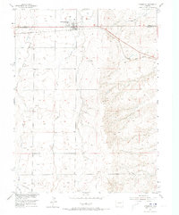
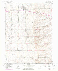
Strasburg serves as the focal point of this mid-century survey, situated along the Union Pacific railroad corridor where the plains meet the watercourses of Wolf Creek and Little Comanche Creek. The settlement character is defined by its agricultural and industrial infrastructure, notably the Elevators and Gas Tanks clustered near the tracks. This 1955 survey captures the transition of the High Plains landscape, showing the early expansion of utilities such as a Telephone Line, a Pipeline, and a Transformer station. Beyond the town limits, the terrain is marked by remnants of local industry, including several Gravel Pits (Inactive) and a lone Gravel Pit (Inactive) further north. The boundary between Adams Co and Arapahoe Co cuts through the northern portion of the map, delineating the administrative landscape of this rural Colorado region during the postwar era.
Find a feature on this map
14 named features on this map. Tap any name to fly to it.
Don’t see what you’re looking for? This feature index may not catch every label — zoom into the map to look around manually.
Map Details
Editions of this 1955 Strasburg Map
3 editions found
Other maps of this area

1949 · Bennett
USGS Topo · 1:24,000

1950 · Roper School
USGS Topo · 1:24,000

1951 · Roper School
USGS Topo · 1:24,000

1952 · Leader SW
USGS Topo · 1:24,000

1953 · Denver
USGS Topo · 1:250,000

1955 · Strasburg NW
USGS Topo · 1:24,000

1956 · Byers
USGS Topo · 1:24,000

1957 · Denver
USGS Topo · 1:250,000

1958 · Denver
USGS Topo · 1:250,000

1960 · Denver
USGS Topo · 1:250,000