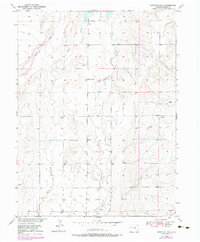
1950 Map of Roper School
USGS Topo · Published 1984About this map
Roper School stands as a lonely landmark within this 1950 landscape in Adams County, anchoring a terrain defined by the northward flow of Kiowa Creek and Wolf Creek. The drainage patterns here reveal the distinct hydrology of the eastern plains, where ephemeral waterways like Comanche Creek and Spring Gulch carve the high prairie.
Find a feature on this map
8 named features on this map. Tap any name to fly to it.
Don’t see what you’re looking for? This feature index may not catch every label — zoom into the map to look around manually.
Map Details
Editions of this 1950 Roper School Map
3 editions found
Other maps of this area

1949 · Sunnydale
USGS Topo · 1:24,000

1949 · Bennett
USGS Topo · 1:24,000

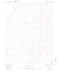
1950 · Roper School
USGS Topo · 1:24,000

1951 · Roper School
USGS Topo · 1:24,000

1951 · Living Springs
USGS Topo · 1:24,000

1951 · Leader NW
USGS Topo · 1:24,000

1952 · Leader SW
USGS Topo · 1:24,000

1953 · Denver
USGS Topo · 1:250,000

1955 · Strasburg NW
USGS Topo · 1:24,000

1955 · Strasburg
USGS Topo · 1:24,000