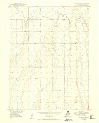
1949 Map of Sunnydale
USGS Topo · Published 1949About this map
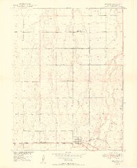
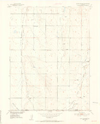
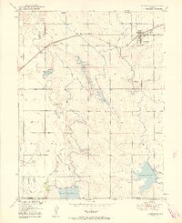
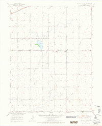
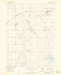
The community of Sunnydale Community House and the nearby Sunnydale Sch serve as the primary social and civic anchors for this high plains landscape in eastern Adams County. Published as part of the Department of the Interior’s program for the development of the Missouri River Basin, the map illustrates a rural area defined by seasonal watercourses and agricultural infrastructure. A significant piece of irrigation history is visible through the Henrylyn Canal (Abandoned), which cuts across the northern terrain alongside the natural paths of Lost Creek and Sand Creek. The survey, based on 1948 aerial photography and 1949 plane-table methods, captures the precise layout of section lines and township boundaries as the region transitioned during the post-war era.
Find a feature on this map
8 named features on this map. Tap any name to fly to it.
Don’t see what you’re looking for? This feature index may not catch every label — zoom into the map to look around manually.
Map Details
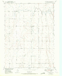
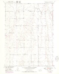
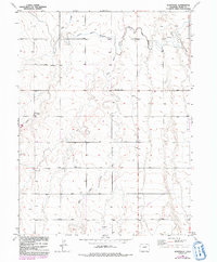
Editions of this 1949 Sunnydale Map
4 editions found
Other maps of this area

1890 · East Denver
USGS Topo · 1:125,000

1902 · Greeley
USGS Topo · 1:125,000
1949 · Bennett
USGS Topo · 1:24,000
1950 · South Roggen
USGS Topo · 1:24,000
1950 · Keenesburg
USGS Topo · 1:24,000
1950 · Prospect Valley
USGS Topo · 1:24,000

1950 · Roper School
USGS Topo · 1:24,000
1951 · Keenesburg
USGS Topo · 1:24,000
1951 · Prospect Valley
USGS Topo · 1:24,000

1951 · Roper School
USGS Topo · 1:24,000