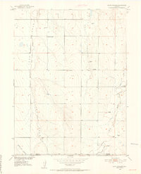
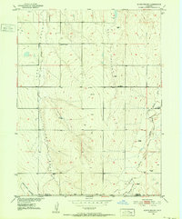
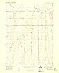
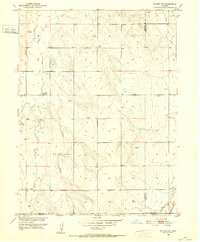
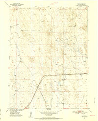
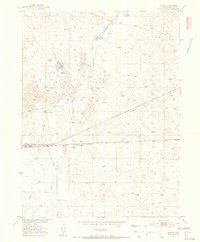
1950 Map of South Roggen
USGS Topo · Published 1952About this map
The boundary between Weld and Adams Counties defines the southern portion of this mid-century topographic survey, where the high plains landscape is marked by ephemeral watercourses and early infrastructure. South Roggen serves as a small anchor in a region primarily shaped by the drainage patterns of Lost Creek and the meandering Kiowa Creek. The terrain is etched by several prominent draws, including Long Draw and Hay Gulch, which illustrate the natural irrigation and runoff patterns of the Colorado prairie.
Find a feature on this map
9 named features on this map. Tap any name to fly to it.
Don’t see what you’re looking for? This feature index may not catch every label — zoom into the map to look around manually.
Map Details
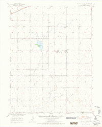
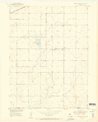
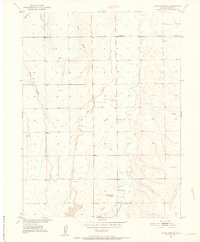
Editions of this 1950 South Roggen Map
3 editions found

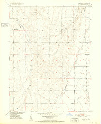
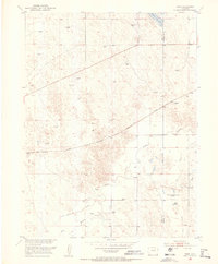
Other maps of this area
1949 · Sunnydale
USGS Topo · 1:24,000
1950 · Wiggins SW
USGS Topo · 1:24,000
1950 · Tampa
USGS Topo · 1:24,000
1950 · Prospect Valley
USGS Topo · 1:24,000
1951 · Prospect Valley
USGS Topo · 1:24,000
1951 · Living Springs
USGS Topo · 1:24,000
1951 · Roggen
USGS Topo · 1:24,000
1951 · Leader NW
USGS Topo · 1:24,000
1951 · Omar
USGS Topo · 1:24,000

1953 · Denver
USGS Topo · 1:250,000