
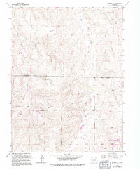
1955 Map of Watkins SE
USGS Topo · Published 1956About this map
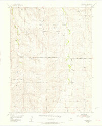
Lowry Air Force Base Bombing Range occupies a significant portion of this landscape on the border of Arapahoe and Elbert counties. The terrain is defined by the drainages of Coal Creek and Box Elder Creek, which carve through the plains south of Watkins. This mid-century survey captures a transitional period of land use where agricultural remnants, such as the Sehley Sch (Aban'd), sit adjacent to the expanding Military Reservation Boundary. The presence of an Observation Tower suggests the tactical observation requirements of the era's training missions. Local history researchers can trace the old section lines and seasonal waterways like Hay Gulch that structured early settlement before the area was repurposed for defense operations.
Find a feature on this map
8 named features on this map. Tap any name to fly to it.
Don’t see what you’re looking for? This feature index may not catch every label — zoom into the map to look around manually.
Map Details
Editions of this 1955 Watkins SE Map
6 editions found
Other maps of this area

1890 · East Denver
USGS Topo · 1:125,000

1894 · Castle Rock
USGS Topo · 1:125,000

1913 · Castle Rock
USGS Topo · 1:125,000

1939 · Coal Creek
USGS Topo · 1:24,000

1939 · Elizabeth
USGS Topo · 1:62,500

1940 · Piney Creek
USGS Topo · 1:24,000

1942 · Piney Creek
USGS Topo · 1:31,680

1942 · Coal Creek
USGS Topo · 1:31,680

1945 · Elizabeth
USGS Topo · 1:62,500

1953 · Denver
USGS Topo · 1:250,000