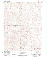
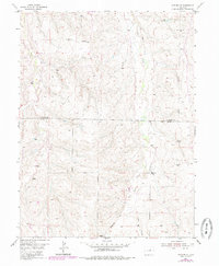
1955 Map of Watkins SE
USGS Topo · Published 1994About this map
Box Elder Creek and Coal Creek wind through the high plains of the Arapahoe and Elbert county line, carving a landscape marked by intermittent drainages and sparse ranching outposts. This 1955 survey, updated with 1988 data, illustrates a territory in transition from traditional agricultural use to early suburban development. The southern portion of the map shows the emergence of Sun Country Meadows, a planned residential layout that contrasts with the established Mountain View Ranch to the west. Energy extraction and local utility infrastructure are evident through numerous scattered Oil Wells and a Radio Tower positioned on the higher ground between the creek beds. A local Fire Station serves the growing community, while the presence of a Gravel Pit and several pipelines underscores the resource-based economy and development needs of the mid-to-late 20th century Colorado plains.
Find a feature on this map
20 named features on this map. Tap any name to fly to it.
Don’t see what you’re looking for? This feature index may not catch every label — zoom into the map to look around manually.
Map Details
Editions of this 1955 Watkins SE Map
6 editions found

Other maps of this area

1890 · East Denver
USGS Topo · 1:125,000

1894 · Castle Rock
USGS Topo · 1:125,000

1913 · Castle Rock
USGS Topo · 1:125,000

1939 · Coal Creek
USGS Topo · 1:24,000

1939 · Elizabeth
USGS Topo · 1:62,500

1940 · Piney Creek
USGS Topo · 1:24,000

1942 · Piney Creek
USGS Topo · 1:31,680

1942 · Coal Creek
USGS Topo · 1:31,680

1945 · Elizabeth
USGS Topo · 1:62,500

1953 · Denver
USGS Topo · 1:250,000