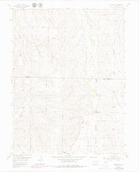
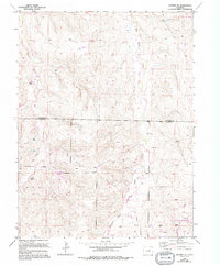
1955 Map of Watkins SE
USGS Topo · Published 1979About this map
The rolling plains along the Arapahoe and Elbert county line are defined by a network of drainage channels that have shaped the rural settlement of the region. The map captures a transition period in the mid-1950s, where traditional landmarks like the Schley Sch reflect the historical community structure of this agricultural landscape. The terrain is marked by the distinct paths of Box Elder Creek and Coal Creek, which provide the primary topographic relief in an otherwise expansive grassland. These waterways, along with Running Hay Gulch, served as the focal points for early land claims and local infrastructure. The inclusion of 1970s revisions highlights the gradual modernization of the area while preserving the original locations of these mid-century local landmarks.
Find a feature on this map
5 named features on this map. Tap any name to fly to it.
Don’t see what you’re looking for? This feature index may not catch every label — zoom into the map to look around manually.
Map Details
Editions of this 1955 Watkins SE Map
6 editions found

Other maps of this area

1890 · East Denver
USGS Topo · 1:125,000

1894 · Castle Rock
USGS Topo · 1:125,000

1913 · Castle Rock
USGS Topo · 1:125,000

1939 · Coal Creek
USGS Topo · 1:24,000

1939 · Elizabeth
USGS Topo · 1:62,500

1940 · Piney Creek
USGS Topo · 1:24,000

1942 · Piney Creek
USGS Topo · 1:31,680

1942 · Coal Creek
USGS Topo · 1:31,680

1945 · Elizabeth
USGS Topo · 1:62,500

1953 · Denver
USGS Topo · 1:250,000