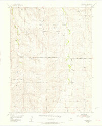
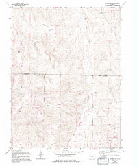
1955 Map of Watkins SE
USGS Topo · Published 1956About this map
Lowry Air Force Base Bombing Range dominates the northern half of this mid-century Colorado landscape, illustrating the significant military footprint on the High Plains during the early Cold War. The Military Reservation Boundary separates this tactical space from the agricultural lands to the south along the Arapahoe Co Elbert Co line. Outside the range, the map documents a transition toward rural homesteads and early education, anchored by the Schley Sch and several windmills scattered across the drainages of Coal Creek and Box Elder Creek. An Observation Tower situated on high ground within the range serves as a reminder of the area's active-duty purpose during the 1950s, while the natural carving of Hay Gulch defines the southeastern topography.
Find a feature on this map
9 named features on this map. Tap any name to fly to it.
Don’t see what you’re looking for? This feature index may not catch every label — zoom into the map to look around manually.
Map Details
Editions of this 1955 Watkins SE Map
6 editions found

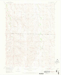
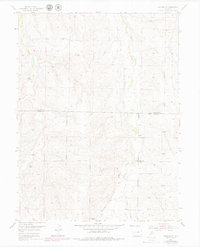
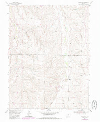
Other maps of this area

1890 · East Denver
USGS Topo · 1:125,000

1894 · Castle Rock
USGS Topo · 1:125,000

1913 · Castle Rock
USGS Topo · 1:125,000

1939 · Coal Creek
USGS Topo · 1:24,000

1939 · Elizabeth
USGS Topo · 1:62,500

1940 · Piney Creek
USGS Topo · 1:24,000

1942 · Piney Creek
USGS Topo · 1:31,680

1942 · Coal Creek
USGS Topo · 1:31,680

1945 · Elizabeth
USGS Topo · 1:62,500

1953 · Denver
USGS Topo · 1:250,000