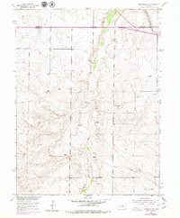
1955 Map of Strasburg NW
USGS Topo · Published 1980About this map
Kiowa Creek meanders through this landscape, defining the topography of a region at the border of Adams Co and Arapahoe Co. The 1955 survey data reveals a rural environment transitioning through mid-century infrastructure developments, marked by extensive Pipeline networks and Telephone Lines that cross the plains. Transport and commerce are anchored by the Union Pacific railroad tracks in the northeastern corner, running parallel to the historic Old Victory Highway.
Find a feature on this map
10 named features on this map. Tap any name to fly to it.
Don’t see what you’re looking for? This feature index may not catch every label — zoom into the map to look around manually.
Map Details
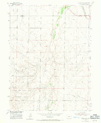
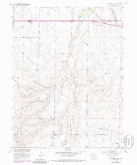
Editions of this 1955 Strasburg NW Map
4 editions found
Other maps of this area

1890 · East Denver
USGS Topo · 1:125,000

1949 · Bennett
USGS Topo · 1:24,000

1950 · Roper School
USGS Topo · 1:24,000

1951 · Roper School
USGS Topo · 1:24,000

1951 · Manila
USGS Topo · 1:24,000

1953 · Denver
USGS Topo · 1:250,000

1954 · Watkins
USGS Topo · 1:24,000

1955 · Strasburg NW
USGS Topo · 1:24,000

1955 · Watkins SE
USGS Topo · 1:24,000

1955 · Strasburg
USGS Topo · 1:24,000