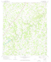
1970 Map of Watson
USGS Topo · Published 1973About this map
Richardson Creek winds through the center of this North Carolina landscape, serving as the primary drainage for a network of tributaries including Jacks Branch, Negro Head Creek, and Stewarts Creek. The area is characterized by a pattern of small rural communities and crossroad settlements such as Advance, Fairfield, and Austin. These locations are anchored by a high density of country churches and family burial grounds, including Shiloh Ch, New Hope Ch, and the Presson Cem.
Find a feature on this map
39 named features on this map. Tap any name to fly to it.
Don’t see what you’re looking for? This feature index may not catch every label — zoom into the map to look around manually.
Map Details
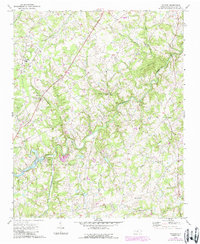
Editions of this 1970 Watson Map
2 editions found
Other maps of this area

1941 · Charlotte
USGS Topo · 1:125,000

1941 · Spartanburg
USGS Topo · 1:250,000

1942 · Charlotte
USGS Topo · 1:125,000

1949 · Midland
USGS Topo · 1:24,000

1953 · Spartanburg
USGS Topo · 1:250,000

1953 · Charlotte
USGS Topo · 1:250,000

1954 · Charlotte
USGS Topo · 1:250,000

1960 · Charlotte
USGS Topo · 1:250,000

1960 · Spartanburg
USGS Topo · 1:250,000

1962 · Charlotte
USGS Topo · 1:250,000