
1942 Map of Watts Valley
USGS Topo · Published 1957About this map
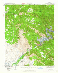
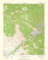
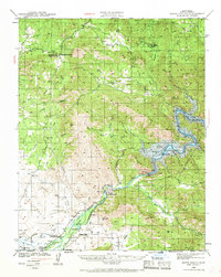
Burrough Valley and the surrounding foothills of the western Sierra Nevada define this 1942 survey of eastern Fresno County. The landscape is a network of small agricultural settlements and mountain rancherias, notably the Cold Spring Rancheria and the community of Piedra, which served as a terminus near the Kings River. The area’s extractive history is well-documented through several labeled mining operations, including the Copper King Mine, Clara Mine, and the Sunnyside Mine.
Find a feature on this map
82 named features on this map. Tap any name to fly to it.
Don’t see what you’re looking for? This feature index may not catch every label — zoom into the map to look around manually.
Map Details
Editions of this 1942 Watts Valley Map
4 editions found
Other maps of this area

1904 · Kaiser
USGS Topo · 1:125,000

1912 · Mariposa
USGS Topo · 1:125,000

1920 · Orangedale School
USGS Topo · 1:24,000

1921 · Squaw Valley
USGS Topo · 1:31,680

1922 · Round Mountain
USGS Topo · 1:31,680

1922 · Trimmer
USGS Topo · 1:96,000

1923 · Academy
USGS Topo · 1:31,680

1923 · Orangedale School
USGS Topo · 1:31,680

1923 · Wahtoke
USGS Topo · 1:31,680

1923 · Sanger
USGS Topo · 1:31,680