2021 Map of Waubay
USGS Topo · Published 2021About this map
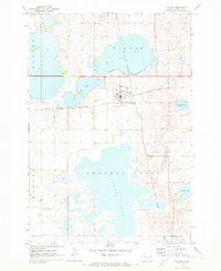
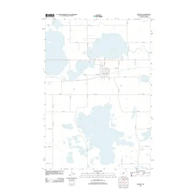
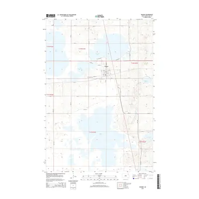
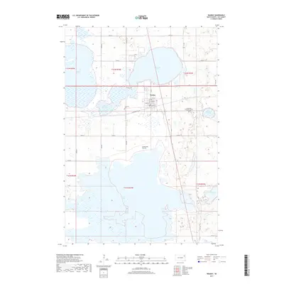
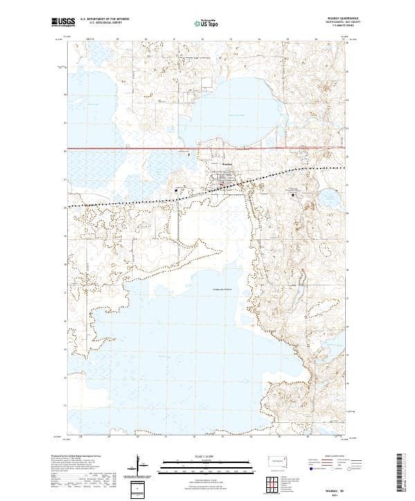
Waubay serves as the central hub of this lakeside landscape, positioned at a critical junction of early transport routes and the complex glacial hydrology of the Coteau des Prairies. The town's grid, including Railway Ave and Main St, is hemmed in by an extensive network of water bodies, including the massive Bitter Lake to the south and Blue Dog Lake to the north. Local history is anchored by several burial sites, such as the Immaculate Conception Catholic Church Cem and Old Zion Cem, providing specific locations for genealogical research. The mapping of the W Yellowstone Trl further illustrates the area's legacy as a transit corridor. The dense concentration of sloughs and lakes like Headman Slough and Little Rush Lake reveals the marshy, high-plateau character of the region during this modern survey period.
Find a feature on this map
40 named features on this map. Tap any name to fly to it.
Don’t see what you’re looking for? This feature index may not catch every label — zoom into the map to look around manually.
Map Details
Editions of this 2021 Waubay Map
This is the sole edition of this map. No revisions or reprints were ever made.
Historical Maps of Waubay Through Time
5 maps found