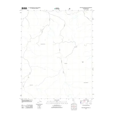
2012 Map of Waucoba Mountain
USGS Topo · Published 2012About this map
Waucoba Mountain dominates this portion of the Inyo Mountains, where high-altitude desert terrain is defined by dramatic peaks and expansive flats. The landscape is interconnected by a network of specialized routes, including Waucoba Road and Hines Rd, which navigate the elevation changes between Andrews Mountain and the central drainage at The Narrows. This region exhibits a classic Great Basin topographic signature, where level areas like Papoose Flat and Squaw Flat provide rare stretches of open ground amidst the peaks. Water is a critical and infrequent resource here, marked by the presence of Squaw Springs near the northern base of Squaw Peak. These named landmarks and seasonal tracks illustrate the early twenty-first-century infrastructure used to access this demanding California backcountry.
Find a feature on this map
14 named features on this map. Tap any name to fly to it.
Don’t see what you’re looking for? This feature index may not catch every label — zoom into the map to look around manually.
Map Details
Editions of this 2012 Waucoba Mountain Map
This is the sole edition of this map. No revisions or reprints were ever made.
Other maps of this area

1907 · Mt. Whitney
USGS Topo · 1:125,000

1908 · Lida
USGS Topo · 1:250,000

1908 · Ballarat
USGS Topo · 1:250,000

1913 · Bishop
USGS Topo · 1:125,000

1913 · Lida
USGS Topo · 1:250,000

1913 · Ballarat
USGS Topo · 1:250,000

1919 · Mt. Whitney
USGS Topo · 1:125,000

1937 · Mt. Whitney
USGS Topo · 1:125,000

1947 · Mariposa
USGS Topo · 1:250,000

1948 · Death Valley
USGS Topo · 1:250,000