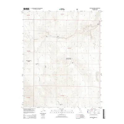
2015 Map of Waucoba Spring
USGS Topo · Published 2015About this map
Waucoba Spring provides a rare point of water within the high desert terrain of the White-Inyo Range, serving as a critical landmark in this arid portion of Inyo County. The landscape is defined by its dramatic relief, where the remote Waucoba Saline Rd winds through the topography, connecting the expansive Whippoorwill Flat with neighboring canyons. This modern survey illustrates the administrative intersection of the Inyo National Forest and the northwestern reaches of Death Valley National Park.
Find a feature on this map
18 named features on this map. Tap any name to fly to it.
Don’t see what you’re looking for? This feature index may not catch every label — zoom into the map to look around manually.
Map Details
Editions of this 2015 Waucoba Spring Map
This is the sole edition of this map. No revisions or reprints were ever made.
Other maps of this area

1907 · Mt. Whitney
USGS Topo · 1:125,000

1908 · Lida
USGS Topo · 1:250,000

1908 · Ballarat
USGS Topo · 1:250,000

1913 · Bishop
USGS Topo · 1:125,000

1913 · Lida
USGS Topo · 1:250,000

1913 · Ballarat
USGS Topo · 1:250,000

1919 · Mt. Whitney
USGS Topo · 1:125,000

1937 · Mt. Whitney
USGS Topo · 1:125,000

1947 · Mariposa
USGS Topo · 1:250,000

1948 · Death Valley
USGS Topo · 1:250,000