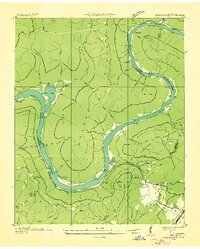
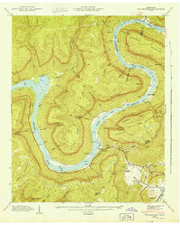
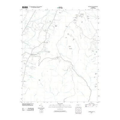
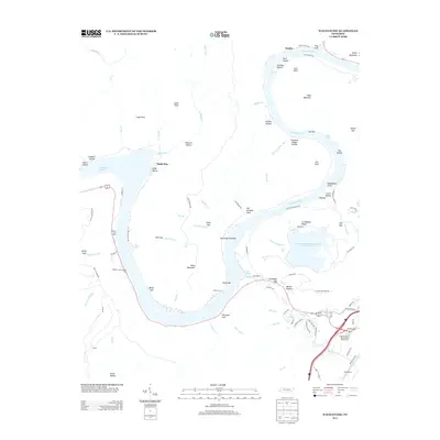
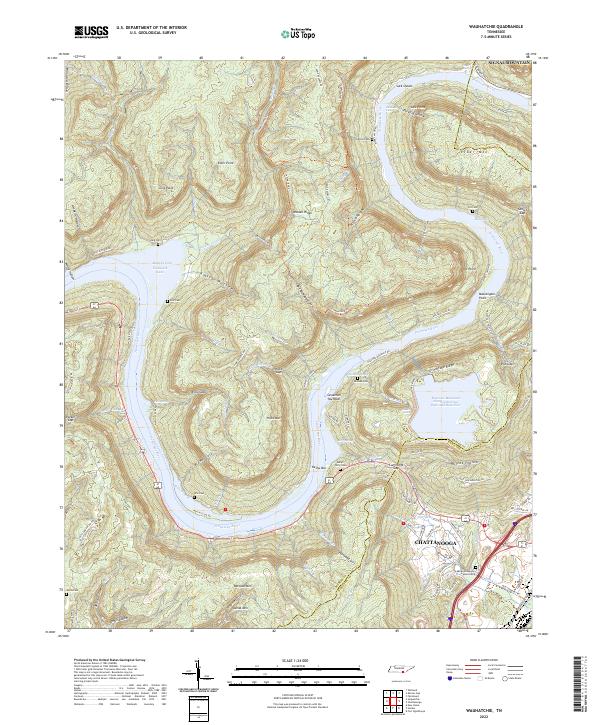
1936 Map of Wauhatchie
USGS Topo · Published 1936About this map
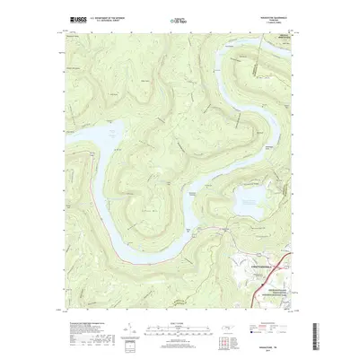
Hales Bar Reservoir dominates this 1930s landscape, winding through the narrow gorge where the Tennessee River cuts between Walden Ridge and Raccoon Mountain. The map details a period of industrial transition, showing numerous Mines (Abandoned) on the slopes of Aetna Mountain and Aetna Cem near the old settlement of Aetna. Family history is deeply rooted in the small hollows and gaps of the river bends, evidenced by the Mc Nabb Cem and French Cem.
Find a feature on this map
66 named features on this map. Tap any name to fly to it.
Don’t see what you’re looking for? This feature index may not catch every label — zoom into the map to look around manually.
Map Details
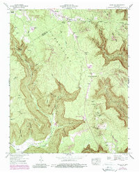
Editions of this 1936 Wauhatchie Map
This is the sole edition of this map. No revisions or reprints were ever made.
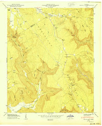
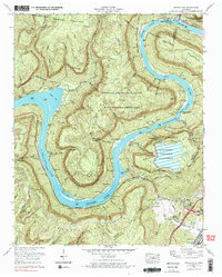
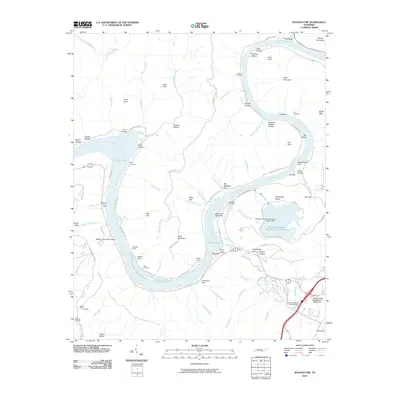
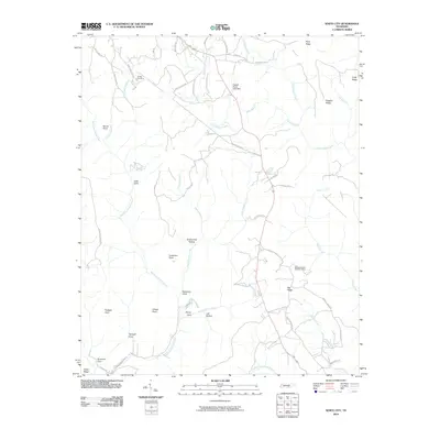
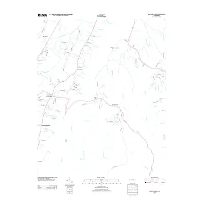
Historical Maps of Chattanooga Through Time
25 maps found

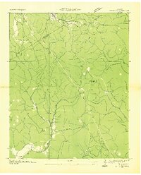
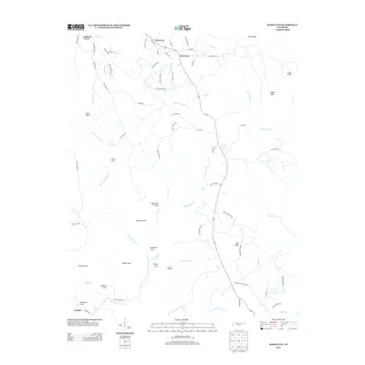
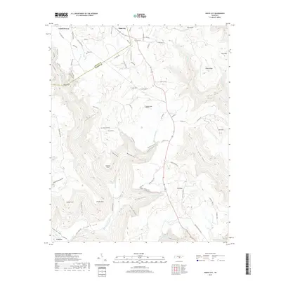
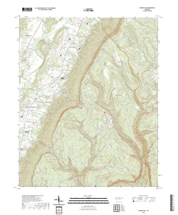
1936 Ketner Gap
Marion County, TN
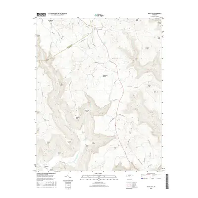
1936 Wauhatchie
Marion County, TN
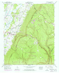
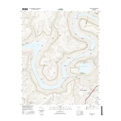
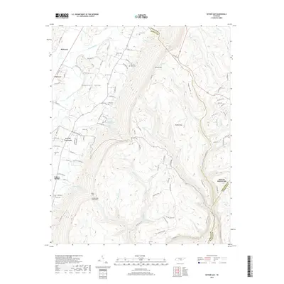
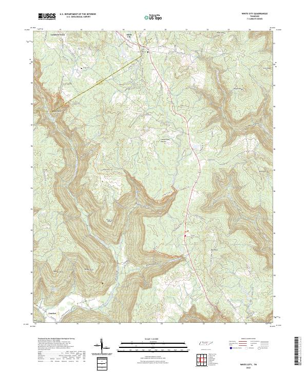
1936 White City
Marion County, TN
1942 Wauhatchie
Marion County, TN
1943 Ketner Gap
Marion County, TN
1943 Wauhatchie
Marion County, TN

1946 Ketner Gap
Marion County, TN
1947 White City
Marion County, TN
1950 White City
Marion County, TN
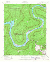
1970 Wauhatchie
Marion County, TN
2010 Ketner Gap
Marion County, TN
2010 Wauhatchie
Marion County, TN
2010 White City
Marion County, TN
2013 Ketner Gap
Marion County, TN
2013 Wauhatchie
Marion County, TN
2013 White City
Marion County, TN
2016 Ketner Gap
Marion County, TN
2016 Wauhatchie
Marion County, TN
2016 White City
Marion County, TN
2019 Ketner Gap
Marion County, TN
2019 Wauhatchie
Marion County, TN
2019 White City
Marion County, TN
2022 Ketner Gap
Marion County, TN
2022 Wauhatchie
Marion County, TN
2022 White City
Marion County, TN