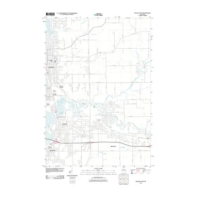
2010 Map of Wausau East
USGS Topo · Published 2010About this map
Wausau and its eastern suburbs are defined by the winding course of the Wisconsin River and its major tributaries in this 2010 survey. The industrial and transit history of the region is evident at Wausau Junction and the Brooks and Ross Dam, which regulates the Eau Claire Flowage as it joins the main river channel. Residential expansion is visible across Franklin Hill and East Hill, while the southern reaches of the map show the established communities of Schofield, Weston, and Rothschild.
Find a feature on this map
74 named features on this map. Tap any name to fly to it.
Don’t see what you’re looking for? This feature index may not catch every label — zoom into the map to look around manually.
Map Details
Editions of this 2010 Wausau East Map
This is the sole edition of this map. No revisions or reprints were ever made.
Other maps of this area

1899 · Wausau
USGS Topo · 1:125,000

1902 · Wausau
USGS Topo · 1:125,000

1951 · Doering
USGS Topo · 1:48,000

1951 · Merrill
USGS Topo · 1:48,000

1953 · Wausau
USGS Topo · 1:48,000

1953 · Hatley
USGS Topo · 1:48,000

1954 · Iron Mountain
USGS Topo · 1:250,000

1955 · Green Bay
USGS Topo · 1:250,000

1959 · Iron Mountain
USGS Topo · 1:250,000

1963 · Wausau West
USGS Topo · 1:24,000