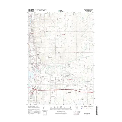
2015 Map of Wausau East
USGS Topo · Published 2015About this map
The Wisconsin River and its complex network of tributaries define the industrial and residential corridors of Marathon County in this 2015 study. The confluence of the Eau Claire River and the main channel creates the Eau Claire Flowage and Lake Wausau, anchoring the established neighborhoods of Wausau, Schofield, and Weston. Rail infrastructure remains a vital element of the landscape, with the Northwestern Rwy passing through Wausau Junction, where historical transit patterns shaped early development.
Find a feature on this map
86 named features on this map. Tap any name to fly to it.
Don’t see what you’re looking for? This feature index may not catch every label — zoom into the map to look around manually.
Map Details
Editions of this 2015 Wausau East Map
This is the sole edition of this map. No revisions or reprints were ever made.
Other maps of this area

1899 · Wausau
USGS Topo · 1:125,000

1902 · Wausau
USGS Topo · 1:125,000

1951 · Doering
USGS Topo · 1:48,000

1951 · Merrill
USGS Topo · 1:48,000

1953 · Wausau
USGS Topo · 1:48,000

1953 · Hatley
USGS Topo · 1:48,000

1954 · Iron Mountain
USGS Topo · 1:250,000

1955 · Green Bay
USGS Topo · 1:250,000

1959 · Iron Mountain
USGS Topo · 1:250,000

1963 · Wausau West
USGS Topo · 1:24,000