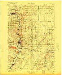
1963 Map of Wausau
USGS Topo · Published 1973About this map
Rib Mountain State Park anchors the topography of this central Wisconsin region, overlooking the winding Wisconsin River as it moves through a series of industrial and residential corridors. By the early 1960s, Wausau had established a complex urban footprint, supported by a network of educational and medical institutions including the Technical Institute, Newman High School, and the Mount View Sanatorium. The river itself is characterized by significant engineering for local industry and recreation, forming Lake Wausau and the Mosinee Flowage. To the south, the paper-mill town of Mosinee and the village of Rothschild show the heavy influence of the Chicago Milwaukee St Paul and Pacific railroad line. The landscape is dotted with numerous gravel pits and quarries, indicating the active extraction industry that shaped the economy of Marathon County alongside its growing suburban pockets like Schofield and Kelly.
Find a feature on this map
84 named features on this map. Tap any name to fly to it.
Don’t see what you’re looking for? This feature index may not catch every label — zoom into the map to look around manually.
Map Details
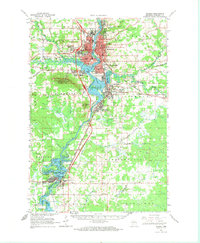
Editions of this 1963 Wausau Map
2 editions found
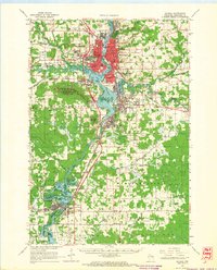
Historical Maps of Wausau Through Time
5 maps found