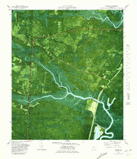
1979 Map of Waverly
USGS Topo · Published 1980About this map
Hazzards Neck and Wild Horse Neck dominate this coastal landscape, where the tides of the Little Satilla River meet an intricate network of marshes and swampy islands. The 1970s orthophotomap detail captures the transition from the upland settlements of Waverly and White Oak to the wetlands of Glencoe Swamp and White Oak Swamp. The infrastructure of the coastal corridor is evident through the Seaboard Coast Line railroad and a new highway section marked as under construction, reflecting a period of regional modernization alongside established rural traditions.
Find a feature on this map
44 named features on this map. Tap any name to fly to it.
Don’t see what you’re looking for? This feature index may not catch every label — zoom into the map to look around manually.
Map Details
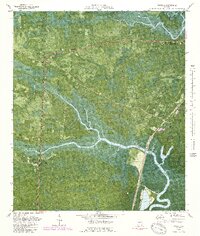
Editions of this 1979 Waverly Map
2 editions found
Other maps of this area

1917 · Nahunta
USGS Topo · 1:62,500

1917 · Boulogne
USGS Topo · 1:62,500

1918 · Nahunta
USGS Topo · 1:62,500

1918 · Bladen
USGS Topo · 1:62,500

1918 · Kingsland
USGS Topo · 1:62,500

1919 · Boulogne
USGS Topo · 1:62,500

1939 · Bladen
USGS Topo · 1:62,500

1946 · Brunswick
USGS Topo · 1:250,000

1948 · Jacksonville
USGS Topo · 1:250,000

1948 · Brunswick
USGS Topo · 1:250,000