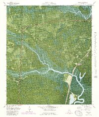
1979 Map of Waverly
USGS Topo · Published 1989About this map
Waverly and White Oak anchor this 1970s orthophotomap of coastal Georgia, where the Seaboard Coast Line railroad cuts through a landscape defined by expansive wetlands and river systems. The transition from the Little Satilla River to the inland network of White Oak Creek and Waverly Creek reveals a geography of named landmasses like Hull Island and Still Island rising above the Waverly Swamp.
Find a feature on this map
37 named features on this map. Tap any name to fly to it.
Don’t see what you’re looking for? This feature index may not catch every label — zoom into the map to look around manually.
Map Details
Editions of this 1979 Waverly Map
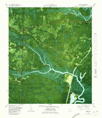
2 editions found
Other maps of this area

1917 · Nahunta
USGS Topo · 1:62,500

1917 · Boulogne
USGS Topo · 1:62,500

1918 · Nahunta
USGS Topo · 1:62,500

1918 · Bladen
USGS Topo · 1:62,500

1918 · Kingsland
USGS Topo · 1:62,500

1919 · Boulogne
USGS Topo · 1:62,500

1939 · Bladen
USGS Topo · 1:62,500

1946 · Brunswick
USGS Topo · 1:250,000

1948 · Jacksonville
USGS Topo · 1:250,000

1948 · Brunswick
USGS Topo · 1:250,000