
1936 Map of Waverly
USGS Topo · Published 1936About this map
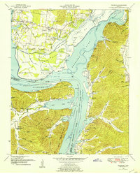
Waverly serves as the hub of this 1936 survey, where the Chattanooga and St Louis Railway and the Chattanooga and St Louis State Highway No 1 intersect. The Tennessee Valley Authority's influence is evident in the detailed mapping of the Duck River as it winds through the southwestern corner of the quadrangle. The landscape is dotted with small-scale educational and spiritual centers, such as Fairview Sch and Mt Olivet Ch, reflecting a dispersed rural community structure.
Find a feature on this map
45 named features on this map. Tap any name to fly to it.
Don’t see what you’re looking for? This feature index may not catch every label — zoom into the map to look around manually.
Map Details
Editions of this 1936 Waverly Map
This is the sole edition of this map. No revisions or reprints were ever made.
Other maps of this area

1936 · Gorman
USGS Topo · 1:24,000

1936 · Hurricane Mills
USGS Topo · 1:24,000

1936 · Woolworth
USGS Topo · 1:24,000

1936 · Bucksnort
USGS Topo · 1:24,000

1936 · Halls Creek
USGS Topo · 1:24,000

1936 · Johnsonville
USGS Topo · 1:24,000

1936 · Harmon Creek
USGS Topo · 1:24,000

1936 · Hustburg
USGS Topo · 1:24,000

1949 · Harmon Creek
USGS Topo · 1:24,000
1949 · Hustburg
USGS Topo · 1:24,000