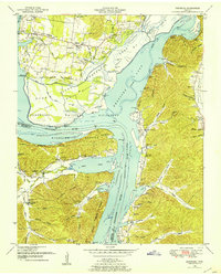
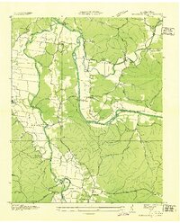
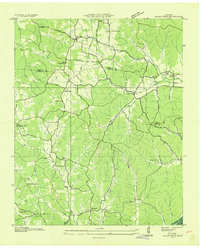
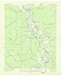
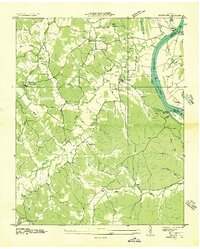
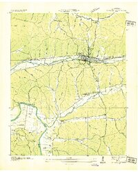
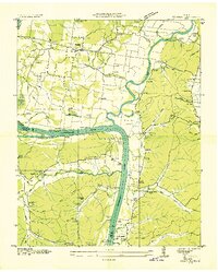
1949 Map of Hustburg
USGS Topo · Published 1953About this map
Hustburg and the surrounding river bottoms of Humphreys and Benton Counties are captured here shortly after the creation of Kentucky Lake. The landscape is defined by the massive confluence of the Tennessee River and Duck River, including a vast Dewatering Area and the Tennessee National Migratory Wildlife Refuge. This era of transformation by the Tennessee Valley Authority is juxtaposed with older upland settlements and family landmarks.
Find a feature on this map
74 named features on this map. Tap any name to fly to it.
Don’t see what you’re looking for? This feature index may not catch every label — zoom into the map to look around manually.
Map Details
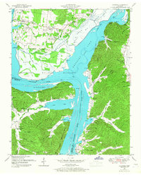
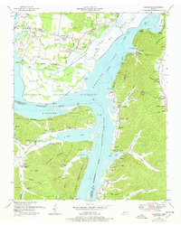
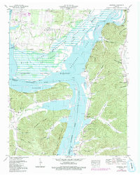
Editions of this 1949 Hustburg Map
4 editions found
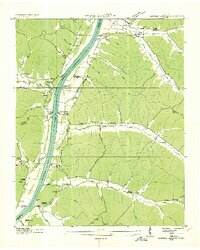
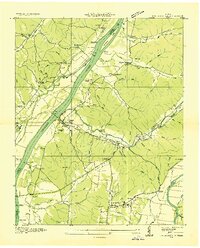
Other maps of this area
1936 · Hurricane Mills
USGS Topo · 1:24,000
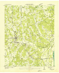
1936 · Camden
USGS Topo · 1:24,000
1936 · Daniels Landing
USGS Topo · 1:24,000
1936 · Johnsonville
USGS Topo · 1:24,000
1936 · Sugar Tree
USGS Topo · 1:24,000
1936 · Lobelville
USGS Topo · 1:24,000
1936 · Rockport
USGS Topo · 1:24,000
1936 · Waverly
USGS Topo · 1:24,000
1936 · Hustburg
USGS Topo · 1:24,000
1949 · Daniels Landing
USGS Topo · 1:24,000