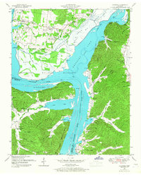
1949 Map of Hustburg
USGS Topo · Published 1967About this map
Kentucky Lake and the Tennessee River dominate this 1949 topographic study, capturing the intersection of Humphreys and Benton counties shortly after the reservoir's creation. The landscape is defined by the Tennessee National Migratory Wildlife Refuge, where the river's path winds through broad flats like Big Bottom and Lower Bottom. This era shows the remaining riverside infrastructure at Trotters Landing and Sycamore Landing, remnants of a river-based economy that persisted alongside newer federal land management.
Find a feature on this map
70 named features on this map. Tap any name to fly to it.
Don’t see what you’re looking for? This feature index may not catch every label — zoom into the map to look around manually.
Map Details
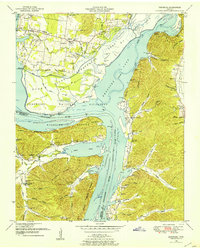
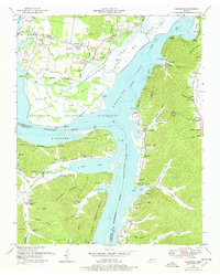
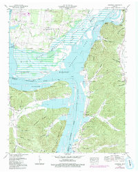
Editions of this 1949 Hustburg Map
4 editions found
Other maps of this area

1936 · Hurricane Mills
USGS Topo · 1:24,000

1936 · Camden
USGS Topo · 1:24,000

1936 · Daniels Landing
USGS Topo · 1:24,000

1936 · Johnsonville
USGS Topo · 1:24,000

1936 · Sugar Tree
USGS Topo · 1:24,000

1936 · Lobelville
USGS Topo · 1:24,000

1936 · Rockport
USGS Topo · 1:24,000

1936 · Waverly
USGS Topo · 1:24,000

1936 · Hustburg
USGS Topo · 1:24,000

1949 · Daniels Landing
USGS Topo · 1:24,000