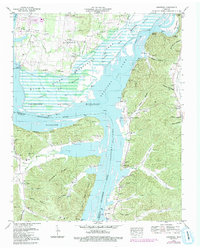
1949 Map of Hustburg
USGS Topo · Published 1992About this map
The Tennessee River and the expansive Kentucky Lake dominate this mid-century landscape in Humphreys County, where the Tennessee Valley Authority’s influence is clearly visible in the extensive Dewatering Area and Upper Big Bottom wetlands. The map documents a period of transition for riverfront communities such as Trotters Landing and Sycamore Landing, which served as vital points of contact before the creation of the reservoir altered the shoreline. Inland, the settlement at Hustburg is anchored by the Ebenezer Ch, while the eastern hills are dotted with family burial grounds including the Cude Cem, Walker Cem, and Jones Cem. The presence of the Tennessee National Migratory Wildlife Refuge underscores the conservation efforts in the Lower Big Bottom area, where Clear Lake Drain and Briar Creek meander through the protected river flats.
Find a feature on this map
77 named features on this map. Tap any name to fly to it.
Don’t see what you’re looking for? This feature index may not catch every label — zoom into the map to look around manually.
Map Details
Editions of this 1949 Hustburg Map
4 editions found
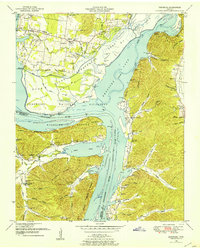
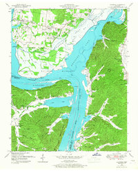
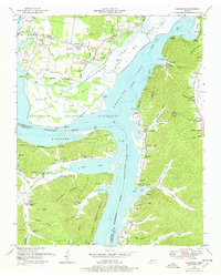
Other maps of this area

1936 · Hurricane Mills
USGS Topo · 1:24,000

1936 · Camden
USGS Topo · 1:24,000

1936 · Daniels Landing
USGS Topo · 1:24,000

1936 · Johnsonville
USGS Topo · 1:24,000

1936 · Sugar Tree
USGS Topo · 1:24,000

1936 · Lobelville
USGS Topo · 1:24,000

1936 · Rockport
USGS Topo · 1:24,000

1936 · Waverly
USGS Topo · 1:24,000

1936 · Hustburg
USGS Topo · 1:24,000

1949 · Daniels Landing
USGS Topo · 1:24,000