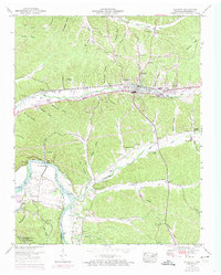
1950 Map of Waverly
USGS Topo · Published 1974About this map
Waverly serves as the central hub of this Humphreys County landscape, where the Louisville and Nashville Railroad and the Broadway of America highway intersect. The town's mid-century infrastructure is visible through landmarks like the Waverly High School and a dedicated Athletic field, while the surrounding terrain is defined by a dense network of hollows such as Pennywinkle Hollow and Pennywinkle Hollow. To the southwest, the Kentucky Lake and Duck River dominate the lowlands, bordering the Tennessee National Migratory Wildlife Refuge. For genealogists, the map is a primary source for dozens of family-named cemeteries, including the Thompson Cem, Burnham Cems, and McAdoo Cem. The transition from the established town to the riverside Kentucky Reservation illustrates the impact of large-scale water management and wildlife conservation on the local geography.
Find a feature on this map
81 named features on this map. Tap any name to fly to it.
Don’t see what you’re looking for? This feature index may not catch every label — zoom into the map to look around manually.
Map Details
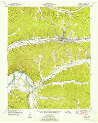
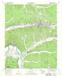
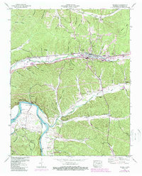
Editions of this 1950 Waverly Map
4 editions found
Other maps of this area

1936 · Gorman
USGS Topo · 1:24,000

1936 · Hurricane Mills
USGS Topo · 1:24,000

1936 · Woolworth
USGS Topo · 1:24,000

1936 · Bucksnort
USGS Topo · 1:24,000

1936 · Halls Creek
USGS Topo · 1:24,000

1936 · Johnsonville
USGS Topo · 1:24,000

1936 · Harmon Creek
USGS Topo · 1:24,000

1936 · Waverly
USGS Topo · 1:24,000

1936 · Hustburg
USGS Topo · 1:24,000

1949 · Harmon Creek
USGS Topo · 1:24,000