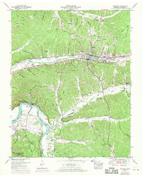
1950 Map of Waverly
USGS Topo · Published 1970About this map
The town of Waverly sits at a geographic crossroads where the Louisville and Nashville railroad meets the historic Old Broadway of America. This 1950s landscape, later updated in the 1960s, reveals a deep network of family cemeteries and rural homesteads such as the Old Fields Place. To the southwest, the terrain transitions into the waters of Kentucky Lake and the winding Duck River, areas protected within the Tennessee National Migratory Wildlife Refuge. The map captures the infrastructure of the era, from the Sewage disposal plant to the Tubbs Ford Bridge crossing Blue Creek. Genealogists will find a high density of burial sites including the Burnham Cems and County farm Cem, alongside landmarks like the Pigeon Roost lookout tower and the Mount Olivet Church.
Find a feature on this map
82 named features on this map. Tap any name to fly to it.
Don’t see what you’re looking for? This feature index may not catch every label — zoom into the map to look around manually.
Map Details
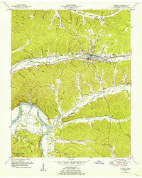
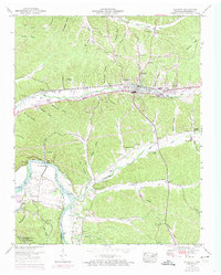
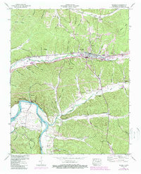
Editions of this 1950 Waverly Map
4 editions found
Other maps of this area

1936 · Gorman
USGS Topo · 1:24,000

1936 · Hurricane Mills
USGS Topo · 1:24,000

1936 · Woolworth
USGS Topo · 1:24,000

1936 · Bucksnort
USGS Topo · 1:24,000

1936 · Halls Creek
USGS Topo · 1:24,000

1936 · Johnsonville
USGS Topo · 1:24,000

1936 · Harmon Creek
USGS Topo · 1:24,000

1936 · Waverly
USGS Topo · 1:24,000

1936 · Hustburg
USGS Topo · 1:24,000

1949 · Harmon Creek
USGS Topo · 1:24,000