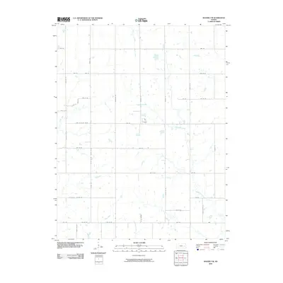
2009 Map of Waverly SE
USGS Topo · Published 2009About this map
Pottawatomie Creek and its various tributaries, including Rock Creek and Elm Creek, define the drainage patterns of this rural Anderson County landscape. The area is structured by a precise grid of county roads that facilitate agricultural access, with long stretches such as Shetland Rd and Alabama Rd marking the sectional boundaries. This 2009 survey reflects the persistent pastoral character of the region, where the winding paths of Crooked Creek and Scott Creek contrast with the rigid geometry of the surrounding fields. The map provides a detailed view of the modern rural infrastructure, showing the relationship between small water bodies and the established network of roads like Trefoil Rd and Verdure Rd that connect this part of the Kansas plains.
Find a feature on this map
38 named features on this map. Tap any name to fly to it.
Don’t see what you’re looking for? This feature index may not catch every label — zoom into the map to look around manually.
Map Details
Editions of this 2009 Waverly SE Map
This is the sole edition of this map. No revisions or reprints were ever made.
Other maps of this area

1885 · Burlington
USGS Topo · 1:125,000

1885 · Garnett
USGS Topo · 1:125,000

1894 · Garnett
USGS Topo · 1:125,000

1894 · Burlington
USGS Topo · 1:125,000

1947 · Lawrence
USGS Topo · 1:250,000

1950 · Lawrence
USGS Topo · 1:250,000

1956 · Williamsburg
USGS Topo · 1:24,000

1956 · Lawrence
USGS Topo · 1:250,000

1957 · Waverly NW
USGS Topo · 1:24,000

1957 · Waverly
USGS Topo · 1:24,000