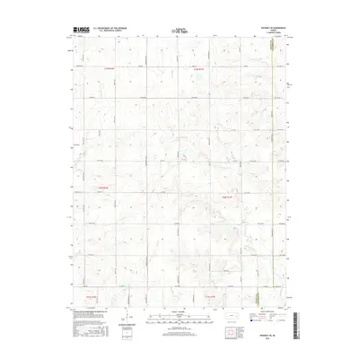
2015 Map of Waverly SE
USGS Topo · Published 2015About this map
Pottawatomie Cr and its various tributaries define the rural landscape of Anderson and Coffey counties in this 2015 survey. The map reveals a strictly regulated grid of section lines and gravel roads, including Shetland Rd and Yearling Rd, that partition the prairie into agricultural squares. The drainage pattern is particularly evident here, with Long Cr and Rock Cr carving subtle relief into the terrain as they flow toward the primary creek. This topography is characteristic of the Osage Cuestas region, where gentle slopes and stream valleys dictate the placement of farmsteads and rural infrastructure. Local landmarks like Scott Cr and Crooked Cr provide essential orientation for researchers tracking property boundaries or historical land use in this part of Kansas. The absence of concentrated urban centers highlights the area's enduring reliance on the land and the established Public Land Survey System.
Find a feature on this map
50 named features on this map. Tap any name to fly to it.
Don’t see what you’re looking for? This feature index may not catch every label — zoom into the map to look around manually.
Map Details
Editions of this 2015 Waverly SE Map
This is the sole edition of this map. No revisions or reprints were ever made.
Other maps of this area

1885 · Burlington
USGS Topo · 1:125,000

1885 · Garnett
USGS Topo · 1:125,000

1894 · Garnett
USGS Topo · 1:125,000

1894 · Burlington
USGS Topo · 1:125,000

1947 · Lawrence
USGS Topo · 1:250,000

1950 · Lawrence
USGS Topo · 1:250,000

1956 · Williamsburg
USGS Topo · 1:24,000

1956 · Lawrence
USGS Topo · 1:250,000

1957 · Waverly NW
USGS Topo · 1:24,000

1957 · Waverly
USGS Topo · 1:24,000