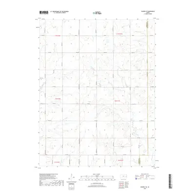
2018 Map of Waverly SE
USGS Topo · Published 2018About this map
Pottawatomie Cr and its numerous tributaries, including Elm Cr, Rock Cr, and Scott Cr, define the drainage patterns across this section of the Kansas landscape. The terrain is characterized by a dense network of sectional roads that follow the Public Land Survey System, creating a rhythmic grid typical of the Great Plains. These routes, such as Shetland Rd, Trefoil Rd, and Yearling Rd, provide access to the rural agricultural tracts that dominate the area.
Find a feature on this map
53 named features on this map. Tap any name to fly to it.
Don’t see what you’re looking for? This feature index may not catch every label — zoom into the map to look around manually.
Map Details
Editions of this 2018 Waverly SE Map
This is the sole edition of this map. No revisions or reprints were ever made.
Other maps of this area

1885 · Burlington
USGS Topo · 1:125,000

1885 · Garnett
USGS Topo · 1:125,000

1894 · Garnett
USGS Topo · 1:125,000

1894 · Burlington
USGS Topo · 1:125,000

1947 · Lawrence
USGS Topo · 1:250,000

1950 · Lawrence
USGS Topo · 1:250,000

1956 · Williamsburg
USGS Topo · 1:24,000

1956 · Lawrence
USGS Topo · 1:250,000

1957 · Waverly NW
USGS Topo · 1:24,000

1957 · Waverly
USGS Topo · 1:24,000