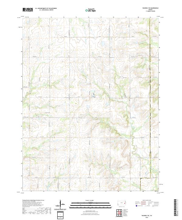
2022 Map of Waverly SE
USGS Topo · Published 2022About this map
Pottawatomie Cr and its meandering tributaries dominate this rural landscape on the border of Coffey Co and Anderson Co. The creek system, including Scott Cr and Rock Cr, carves through the undulating prairie, defining the drainage patterns that have shaped local agriculture for generations. A rigid grid of section roads, such as Shetland Rd and Verdure Rd, provides access across the township lines of t20s r17e and t19s r16e, illustrating the orderly land division characteristic of the Kansas interior. The presence of smaller waterways like Long Cr and Crooked Cr suggests a terrain deeply influenced by these seasonal flows, where timber and moisture congregate in an otherwise open agricultural expanse.
Find a feature on this map
53 named features on this map. Tap any name to fly to it.
Don’t see what you’re looking for? This feature index may not catch every label — zoom into the map to look around manually.
Map Details
Editions of this 2022 Waverly SE Map
This is the sole edition of this map. No revisions or reprints were ever made.
Other maps of this area

1885 · Burlington
USGS Topo · 1:125,000

1885 · Garnett
USGS Topo · 1:125,000

1894 · Garnett
USGS Topo · 1:125,000

1894 · Burlington
USGS Topo · 1:125,000

1947 · Lawrence
USGS Topo · 1:250,000

1950 · Lawrence
USGS Topo · 1:250,000

1956 · Williamsburg
USGS Topo · 1:24,000

1956 · Lawrence
USGS Topo · 1:250,000

1957 · Waverly NW
USGS Topo · 1:24,000

1957 · Waverly
USGS Topo · 1:24,000