
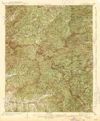
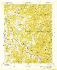
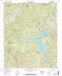
1935 Map of Wayah Bald
USGS Topo · Published 1935This historical map portrays the area of Wayah Bald in 1935, primarily covering Macon County as well as portions of Clay County, Cherokee County, and Graham County. Featuring a scale of 1:48000, this map provides a highly detailed snapshot of the terrain, roads, buildings, counties, and historical landmarks in the Wayah Bald region at the time. Published in 1935, it is the sole known edition of this map.
Map Details
Editions of this 1935 Wayah Bald Map
This is the sole edition of this map. No revisions or reprints were ever made.
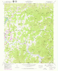
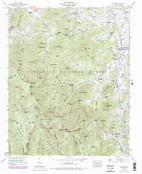
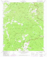
Historical Maps of Cherokee County Through Time
18 maps found

1935 Burningtown Bald
Macon County, NC

1935 Corbin Knob
Macon County, NC

1935 Prentiss
Macon County, NC

1935 Rainbow Springs
Macon County, NC

1935 Scaly
Macon County, NC

1935 Topton
Macon County, NC
1935 Wayah Bald
Macon County, NC
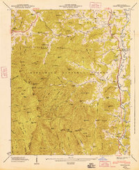
1942 Wayah Bald
Macon County, NC
1946 Corbin Knob
Macon County, NC
1946 Prentiss
Macon County, NC
1946 Scaly Mountain
Macon County, NC
1947 Corbin Knob
Macon County, NC
1947 Prentiss
Macon County, NC
1947 Scaly
Macon County, NC
1957 Rainbow Springs
Macon County, NC
1957 Topton
Macon County, NC
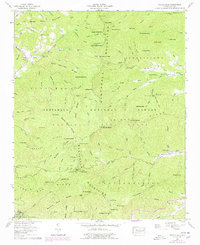
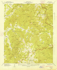
1957 Wayah Bald
Macon County, NC

1983 Fontana Lake
Macon County, NC