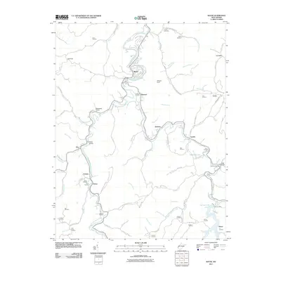
2011 Map of Wayne
USGS Topo · Published 2011About this map
Twelvepole Creek and its winding West Fork carve through the heart of this Wayne County landscape, dictating the placement of historic settlements like Wayne, Sidney, and Coleman. The topographical detail reveals a network of narrow valleys and hollows, such as Deadwood Hollow and Rocky Hollow, where small family cemeteries are frequently found. These burial sites, including the Bailey Cemetery and Jackson Cemetery, offer critical touchstones for genealogists tracing local families in the hills.
Find a feature on this map
94 named features on this map. Tap any name to fly to it.
Don’t see what you’re looking for? This feature index may not catch every label — zoom into the map to look around manually.
Map Details
Editions of this 2011 Wayne Map
This is the sole edition of this map. No revisions or reprints were ever made.
Other maps of this area

1892 · Huntington
USGS Topo · 1:125,000

1898 · Huntington
USGS Topo · 1:125,000

1901 · Guyandot
USGS Topo · 1:62,500

1901 · Ceredo
USGS Topo · 1:62,500

1902 · Guyandot
USGS Topo · 1:62,500

1903 · Kenova
USGS Topo · 1:125,000

1904 · Kenova
USGS Topo · 1:125,000

1909 · Wayne
USGS Topo · 1:62,500

1911 · Louisa
USGS Topo · 1:48,000

1913 · Ceredo
USGS Topo · 1:62,500