2023 Map of Wayne
USGS Topo · Published 2023About this map
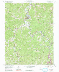
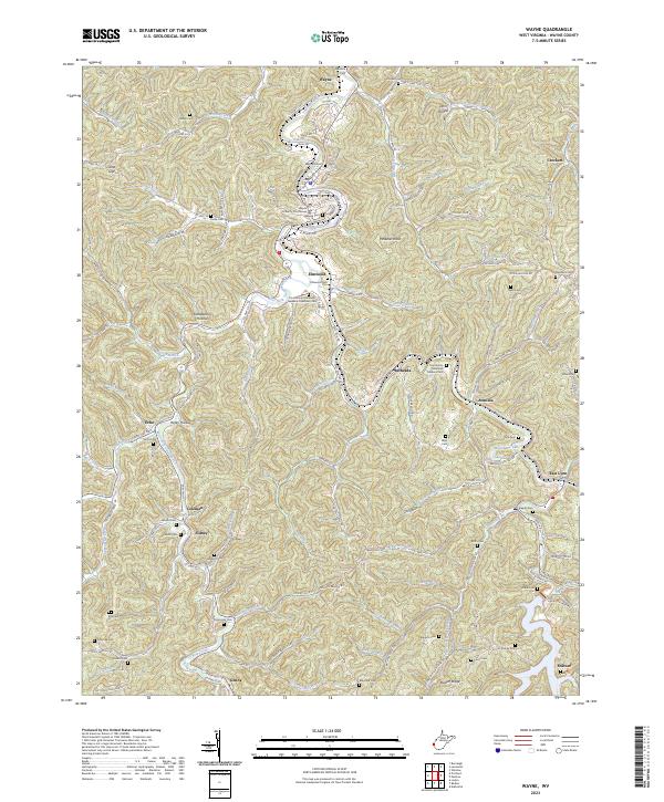
The County Courthouse stands as the central landmark of Wayne, anchoring a landscape defined by the winding course of Twelvepole Creek and its many branches. This 2023 survey illustrates the intricate network of hollows and ridges that characterize this part of West Virginia, from Lynn Hollow in the north to Napiér Ridge in the south. The area is densely punctuated with family and community burial grounds, such as Crockett Cem, Maynard Cem, and Elmwood Cem, which serve as vital touchstones for local genealogical research. Small settlements like Elmwood, Echo, and Sidney are connected by narrow valley roads following watercourses like Wilson Creek and the West Fork Twelvepole Creek. The inclusion of Mam-Maw Lake and the Community Memorial Gardens-Dickerson Cem reflects the modern community layout within this traditional Appalachian terrain.
Find a feature on this map
120 named features on this map. Tap any name to fly to it.
Don’t see what you’re looking for? This feature index may not catch every label — zoom into the map to look around manually.
Map Details
Editions of this 2023 Wayne Map
This is the sole edition of this map. No revisions or reprints were ever made.
Historical Maps of Elmwood Through Time
5 maps found