
1939 Map of Waynesboro
USGS Topo · Published 1939About this map
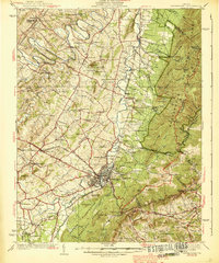
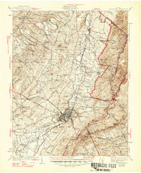
Waynesboro serves as the industrial and transportation hub of the Shenandoah Valley in this late 1930s survey, where the Norfolk And Western and Chesapeake And Ohio railroads intersect. The map documents a landscape defined by traditional valley agriculture and significant early industry, such as the Crimora Mine located near the base of the Blue Ridge mountains. Educational and institutional landmarks are prominent, including the Augusta Military Academy at Fort Defiance and the District Home located near the South River.
Find a feature on this map
118 named features on this map. Tap any name to fly to it.
Don’t see what you’re looking for? This feature index may not catch every label — zoom into the map to look around manually.
Map Details
Editions of this 1939 Waynesboro Map
3 editions found
Other maps of this area

1892 · Buckingham
USGS Topo · 1:125,000

1892 · Harrisonburg
USGS Topo · 1:125,000

1894 · Staunton
USGS Topo · 1:125,000

1894 · Lexington
USGS Topo · 1:125,000

1929 · Covesville
USGS Topo · 1:62,500

1931 · University
USGS Topo · 1:62,500

1934 · Waynesboro
USGS Topo · 1:48,000

1935 · Covesville
USGS Topo · 1:62,500

1935 · University
USGS Topo · 1:62,500

1936 · Vesuvius
USGS Topo · 1:48,000