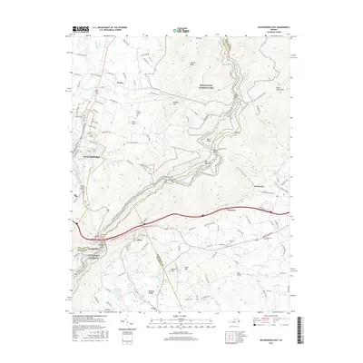
2016 Map of Waynesboro East
USGS Topo · Published 2016About this map
Waynesboro sits at the foot of the Blue Ridge, marking a critical transition between the industrial valley floor and the high ridgelines of Shenandoah National Park. This 2016 survey highlights the complex transportation corridor where interstate and local routes converge at Rockfish Gap, a historic mountain pass. The landscape is defined by the sharp divide between the urbanized western edge and the orchards and rural estates of the Greenwood and Afton areas to the east.
Find a feature on this map
138 named features on this map. Tap any name to fly to it.
Don’t see what you’re looking for? This feature index may not catch every label — zoom into the map to look around manually.
Map Details
Editions of this 2016 Waynesboro East Map
This is the sole edition of this map. No revisions or reprints were ever made.
Other maps of this area

1892 · Buckingham
USGS Topo · 1:125,000

1892 · Harrisonburg
USGS Topo · 1:125,000

1929 · Covesville
USGS Topo · 1:62,500

1931 · University
USGS Topo · 1:62,500

1934 · Waynesboro
USGS Topo · 1:48,000

1935 · Covesville
USGS Topo · 1:62,500

1935 · University
USGS Topo · 1:62,500

1939 · Waynesboro
USGS Topo · 1:62,500

1943 · Lovingston
USGS Topo · 1:62,500

1945 · Covesville
USGS Topo · 1:62,500