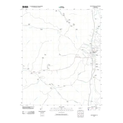
2010 Map of Waynesboro
USGS Topo · Published 2010About this map
Waynesboro serves as the focal point of this 2010 survey, situated at the confluence of several key waterways and historical routes. The town’s layout is defined by the Green River, with essential local landmarks like the Waynesboro Post Office and several burial grounds, including the Old Town Cemetery and Greenwood Cemetery, marking the community's core. The surrounding landscape is a complex system of narrow valleys or "hollows," such as Negro Hollow and Belew Hollow, which have dictated the path of local roads like the Clifton Tpke.
Find a feature on this map
77 named features on this map. Tap any name to fly to it.
Don’t see what you’re looking for? This feature index may not catch every label — zoom into the map to look around manually.
Map Details
Editions of this 2010 Waynesboro Map
This is the sole edition of this map. No revisions or reprints were ever made.
Other maps of this area

1905 · Waynesboro
USGS Topo · 1:125,000

1936 · Collinwood
USGS Topo · 1:24,000

1936 · Eagle Creek
USGS Topo · 1:24,000

1936 · Leatherwood
USGS Topo · 1:24,000

1936 · Negro Hollow
USGS Topo · 1:24,000

1936 · Clifton
USGS Topo · 1:24,000

1936 · Three Churches
USGS Topo · 1:24,000

1936 · Waynesboro
USGS Topo · 1:24,000

1936 · Martins Mills
USGS Topo · 1:24,000

1936 · Topsy
USGS Topo · 1:24,000