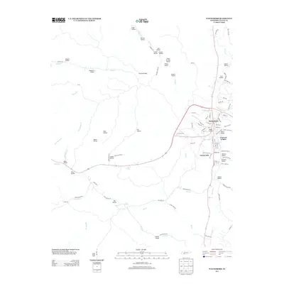
2013 Map of Waynesboro
USGS Topo · Published 2013About this map
Waynesboro sits at the heart of this topographical study, where the Green River winds through a landscape defined by an intricate network of hollows and ridges. The town's modern footprint is flanked by the residential developments of Dogwood Heights and Forrest Hills, reflecting the community's contemporary growth. Beyond the town center, the terrain is deeply etched by watercourses such as Hog Cr and Eagle Cr, while names like Peach Orchard Hollow and Jess Hollow hint at the area's agricultural and family heritage. Natural water sources including Lay Spring and Cave Spring emphasize the karst-influenced geography of the region. The map also traces the modern road network, including the Clifton Tpke, which cuts across prominent high points like Copeland Ridge, connecting the central valley to the surrounding highlands of Wayne County.
Find a feature on this map
106 named features on this map. Tap any name to fly to it.
Don’t see what you’re looking for? This feature index may not catch every label — zoom into the map to look around manually.
Map Details
Editions of this 2013 Waynesboro Map
This is the sole edition of this map. No revisions or reprints were ever made.
Other maps of this area

1905 · Waynesboro
USGS Topo · 1:125,000

1936 · Collinwood
USGS Topo · 1:24,000

1936 · Eagle Creek
USGS Topo · 1:24,000

1936 · Leatherwood
USGS Topo · 1:24,000

1936 · Negro Hollow
USGS Topo · 1:24,000

1936 · Clifton
USGS Topo · 1:24,000

1936 · Three Churches
USGS Topo · 1:24,000

1936 · Waynesboro
USGS Topo · 1:24,000

1936 · Martins Mills
USGS Topo · 1:24,000

1936 · Topsy
USGS Topo · 1:24,000