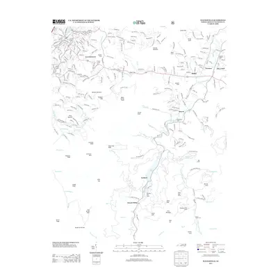
2013 Map of Waynesville
USGS Topo · Published 2013About this map
Waynesville anchors the northwestern corner of this study, where the town's street grid meets the high-elevation terrain of the Blue Ridge. The landscape is defined by the drainage of the W Fork Pigeon River and Little E Fork Pigeon River, flowing through a series of narrow valleys. These waterways supported the development of small communities like Bethel, Retreat, and Woodrow, which are situated along the valley floors. Further south, the map reveals the waters of Lake Logan, a significant landmark in the Sunburst area.
Find a feature on this map
262 named features on this map. Tap any name to fly to it.
Don’t see what you’re looking for? This feature index may not catch every label — zoom into the map to look around manually.
Map Details
Editions of this 2013 Waynesville Map
This is the sole edition of this map. No revisions or reprints were ever made.
Other maps of this area

1891 · Cowee
USGS Topo · 1:125,000

1893 · Mt Guyot
USGS Topo · 1:125,000

1894 · Asheville
USGS Topo · 1:125,000

1897 · Cowee
USGS Topo · 1:125,000

1901 · Asheville
USGS Topo · 1:125,000

1905 · Pisgah
USGS Topo · 1:125,000

1906 · Pisgah
USGS Topo · 1:125,000

1907 · Cowee
USGS Topo · 1:125,000

1912 · Mt Guyot
USGS Topo · 1:125,000

1935 · Cruso
USGS Topo · 1:24,000