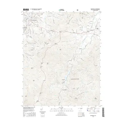
2016 Map of Waynesville
USGS Topo · Published 2016About this map
The mountain town of Waynesville and the neighboring community of Hazelwood anchor this study of the High Country as it stood in the mid-2010s. The landscape is defined by the Pigeon River and its multiple forks, which carve deep valleys such as Ratcliffe Cove and Francis Cove into the surrounding peaks. Within the Pisgah National Forest, the terrain rises dramatically toward Lickstone Bald and Wolfpen Mountain, providing a detailed view of the ridges and gaps that dictated historical settlement patterns. Smaller localities like Bethel, Sunburst, and Burnett Siding illustrate the distribution of mountain hamlets along the watercourses. Significant landmarks including Lake Logan, Green Hill Cemetery, and Camp Daniel Boone Lake are meticulously documented, offering a comprehensive view of how residential development and conservation land coexist in this part of Haywood County.
Find a feature on this map
172 named features on this map. Tap any name to fly to it.
Don’t see what you’re looking for? This feature index may not catch every label — zoom into the map to look around manually.
Map Details
Editions of this 2016 Waynesville Map
This is the sole edition of this map. No revisions or reprints were ever made.
Other maps of this area

1891 · Cowee
USGS Topo · 1:125,000

1893 · Mt Guyot
USGS Topo · 1:125,000

1894 · Asheville
USGS Topo · 1:125,000

1897 · Cowee
USGS Topo · 1:125,000

1901 · Asheville
USGS Topo · 1:125,000

1905 · Pisgah
USGS Topo · 1:125,000

1906 · Pisgah
USGS Topo · 1:125,000

1907 · Cowee
USGS Topo · 1:125,000

1912 · Mt Guyot
USGS Topo · 1:125,000

1935 · Cruso
USGS Topo · 1:24,000