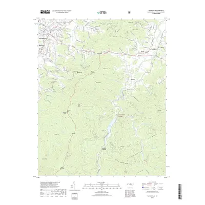
2019 Map of Waynesville
USGS Topo · Published 2019About this map
The town of Waynesville anchors the western edge of this mountain landscape, where Richland Creek meets the valley floor near Hazelwood. This modern survey provides a detailed view of the high-altitude topography of the Great Balsam Mountains, transitioning from urban grids and the Green Hill Cem to the protected wilderness of the Pisgah National Forest. The geography is defined by the Pigeon River and its forks, which carve deep coves like Ratcliffe Cove and Peter Cove.
Find a feature on this map
70 named features on this map. Tap any name to fly to it.
Don’t see what you’re looking for? This feature index may not catch every label — zoom into the map to look around manually.
Map Details
Editions of this 2019 Waynesville Map
This is the sole edition of this map. No revisions or reprints were ever made.
Other maps of this area

1891 · Cowee
USGS Topo · 1:125,000

1893 · Mt Guyot
USGS Topo · 1:125,000

1894 · Asheville
USGS Topo · 1:125,000

1897 · Cowee
USGS Topo · 1:125,000

1901 · Asheville
USGS Topo · 1:125,000

1905 · Pisgah
USGS Topo · 1:125,000

1906 · Pisgah
USGS Topo · 1:125,000

1907 · Cowee
USGS Topo · 1:125,000

1912 · Mt Guyot
USGS Topo · 1:125,000

1935 · Cruso
USGS Topo · 1:24,000