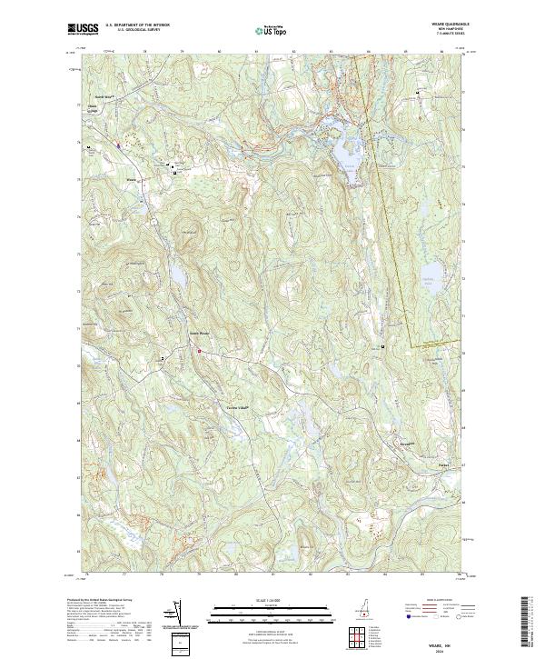
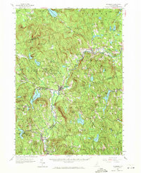
2024 Map of Weare
USGS Topo · Published 2024About this map
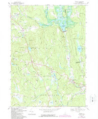
Piscataquog River drainage systems define this Hillsborough County landscape, where the main river and its branches weave between numerous peaks like Mt William and Mt Dearborn. The settlement pattern is notably decentralized, featuring distinct clusters such as North Weare, Chase Village, and Tavern Village. Local history is deeply embedded in the land, evidenced by several scattered burial grounds including Friends North Cem and Stark Cem.
Find a feature on this map
147 named features on this map. Tap any name to fly to it.
Don’t see what you’re looking for? This feature index may not catch every label — zoom into the map to look around manually.
Map Details
Editions of this 2024 Weare Map
This is the sole edition of this map. No revisions or reprints were ever made.
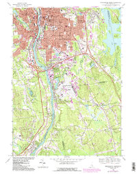
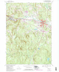
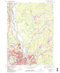
Historical Maps of Parker Through Time
43 maps found
1900 Peterboro
Hillsborough County, NH

1906 Milford
Hillsborough County, NH
1926 Hillsboro
Hillsborough County, NH
1929 Hillsboro
Hillsborough County, NH
1953 Milford
Hillsborough County, NH
1953 Peterborough
Hillsborough County, NH
1957 Hillsboro
Hillsborough County, NH
1965 Nashua South
Hillsborough County, NH
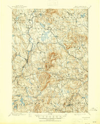
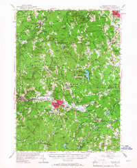
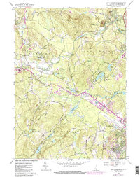
1967 Weare
Hillsborough County, NH
1968 Manchester South
Hillsborough County, NH
1968 Milford
Hillsborough County, NH
1968 Nashua North
Hillsborough County, NH
1968 South Merrimack
Hillsborough County, NH

1977 Manchester South
Hillsborough County, NH

1977 Nashua North
Hillsborough County, NH

1987 Deering
Hillsborough County, NH

1987 Greenfield
Hillsborough County, NH

1987 Greenville
Hillsborough County, NH

1987 Hillsboro
Hillsborough County, NH

1987 Hillsboro Upper Village
Hillsborough County, NH

1987 Peterborough North
Hillsborough County, NH

1987 Peterborough South
Hillsborough County, NH

1995 Greenfield
Hillsborough County, NH

1995 Hillsboro
Hillsborough County, NH

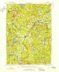
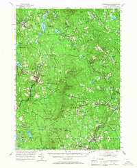
1995 Weare
Hillsborough County, NH

1997 Greenville
Hillsborough County, NH

1997 Peterborough North
Hillsborough County, NH

1997 Peterborough South
Hillsborough County, NH

1998 Deering
Hillsborough County, NH

1998 Hillsboro Upper Village
Hillsborough County, NH
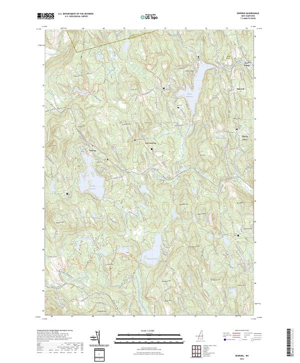
2024 Deering
Hillsborough County, NH

2024 Greenfield
Hillsborough County, NH
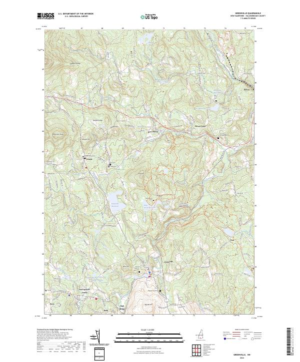
2024 Greenville
Hillsborough County, NH

2024 Hillsboro
Hillsborough County, NH
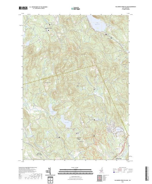
2024 Hillsboro Upper Village
Hillsborough County, NH
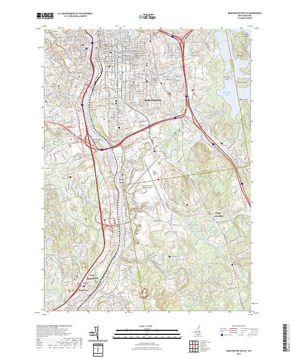
2024 Manchester South
Hillsborough County, NH
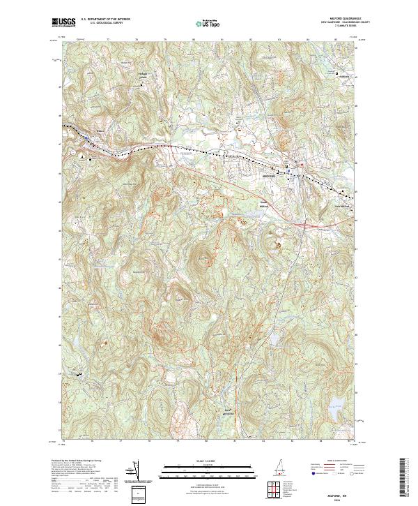
2024 Milford
Hillsborough County, NH
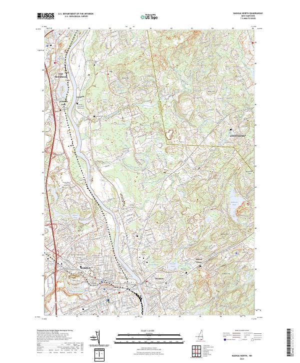
2024 Nashua North
Hillsborough County, NH
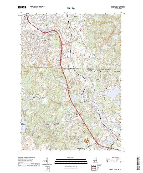
2024 Nashua South
Hillsborough County, NH

2024 Peterborough North
Hillsborough County, NH
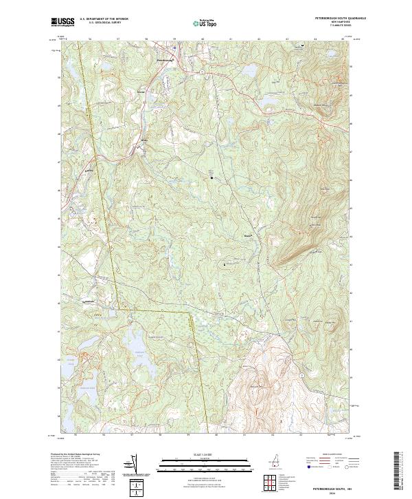
2024 Peterborough South
Hillsborough County, NH
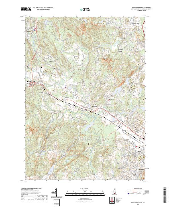
2024 South Merrimack
Hillsborough County, NH
2024 Weare
Hillsborough County, NH