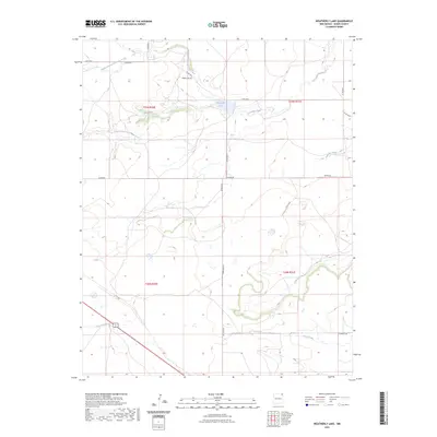
2023 Map of Weatherly Lake
USGS Topo · Published 2023About this map
Weatherly Lake serves as a central hydrological point in this high-plains landscape of Union County, New Mexico. The area is defined by a complex network of seasonal watercourses and drainage systems, including the North Branch, South Branch, and the main stem of Corrumpa Creek. These waterways, along with Rafaelito Creek and Rafael Creek to the south, illustrate the dendritic drainage patterns characteristic of the region's topography.
Find a feature on this map
23 named features on this map. Tap any name to fly to it.
Don’t see what you’re looking for? This feature index may not catch every label — zoom into the map to look around manually.
Map Details
Editions of this 2023 Weatherly Lake Map
This is the sole edition of this map. No revisions or reprints were ever made.
Other maps of this area

1954 · Dalhart
USGS Topo · 1:250,000

1958 · Dalhart
USGS Topo · 1:250,000

1962 · Dalhart
USGS Topo · 1:250,000

1972 · Little Grande
USGS Topo · 1:24,000
1972 · Fiddler Springs
USGS Topo · 1:24,000

1972 · Cross L Ranch SW
USGS Topo · 1:24,000
1972 · Des Moines
USGS Topo · 1:24,000

1972 · Cow Mountain
USGS Topo · 1:24,000
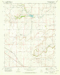
1973 · Wetherly Lake
USGS Topo · 1:24,000

1973 · Grenville SW
USGS Topo · 1:24,000