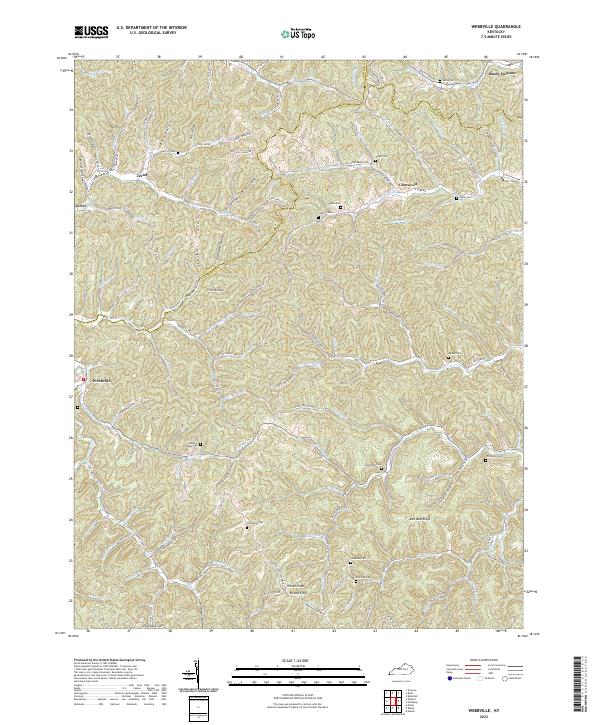
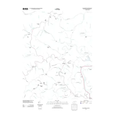
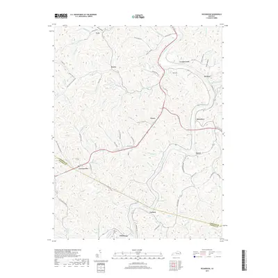
2022 Map of Webbville
USGS Topo · Published 2022About this map
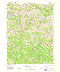
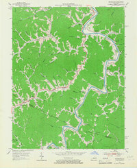
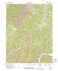
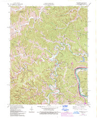
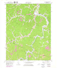
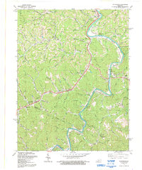
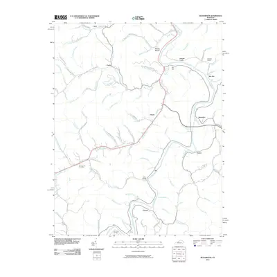
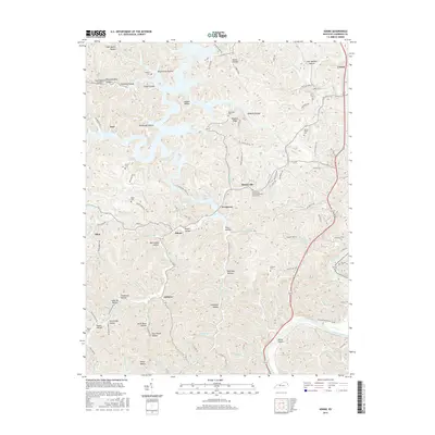
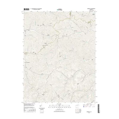
The E Fork Little Sandy River carves a winding path through this corner of Lawrence County, anchoring a landscape defined by deep hollows and narrow ridges. Settlement patterns here are dictated by the terrain, with communities like Webbville and Jeriel situated along the valley floors. The map reveals a dense network of family-named landmarks and resting places, such as the James C Webb Cem, Howell Cem, and Hammond Cem, providing significant detail for those tracing local lineages. The northern edge, near Sandy Furnace, touches the triple-county boundary between Carter, Boyd, and Lawrence. Industrial activity is etched into the topography through features like Strip Mine Rd, while high points such as Bishop Knob and Hinton Knob overlook the complex drainage systems of Caney Fork and Little Cat Fork.
Find a feature on this map
115 named features on this map. Tap any name to fly to it.
Don’t see what you’re looking for? This feature index may not catch every label — zoom into the map to look around manually.
Map Details
Editions of this 2022 Webbville Map
This is the sole edition of this map. No revisions or reprints were ever made.
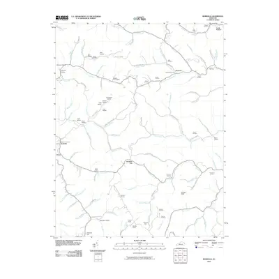
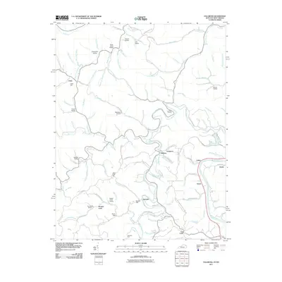
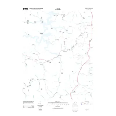
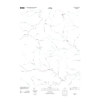
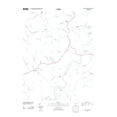
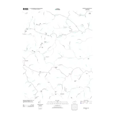
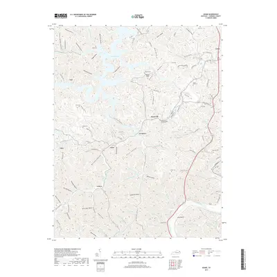
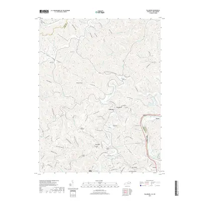
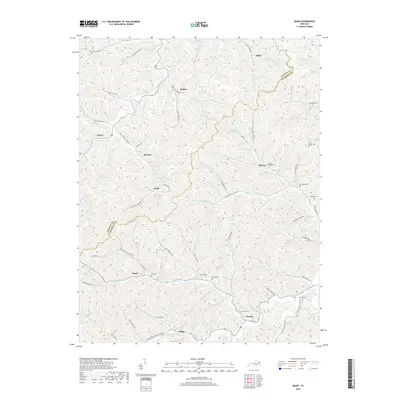
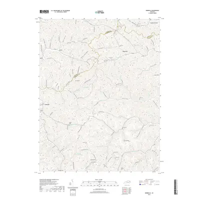
Historical Maps of Glenwood Through Time
34 maps found
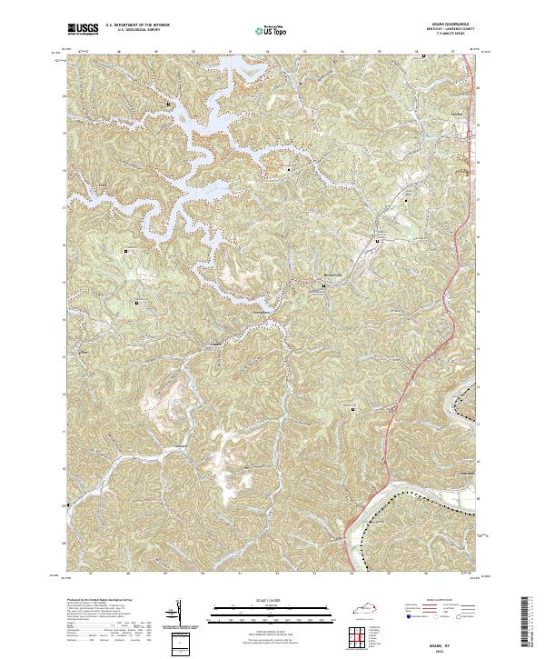
1953 Adams
Lawrence County, KY
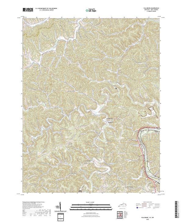
1953 Fallsburg
Lawrence County, KY
1953 Mazie
Lawrence County, KY
1953 Webbville
Lawrence County, KY
1954 Richardson
Lawrence County, KY
1971 Adams
Lawrence County, KY
1971 Fallsburg
Lawrence County, KY
1971 Richardson
Lawrence County, KY
1992 Richardson
Lawrence County, KY
2010 Adams
Lawrence County, KY
2010 Mazie
Lawrence County, KY
2010 Richardson
Lawrence County, KY
2010 Webbville
Lawrence County, KY
2011 Fallsburg
Lawrence County, KY
2013 Adams
Lawrence County, KY
2013 Fallsburg
Lawrence County, KY
2013 Mazie
Lawrence County, KY
2013 Richardson
Lawrence County, KY
2013 Webbville
Lawrence County, KY
2016 Adams
Lawrence County, KY
2016 Fallsburg
Lawrence County, KY
2016 Mazie
Lawrence County, KY
2016 Richardson
Lawrence County, KY
2016 Webbville
Lawrence County, KY
2019 Adams
Lawrence County, KY
2019 Fallsburg
Lawrence County, KY
2019 Mazie
Lawrence County, KY
2019 Richardson
Lawrence County, KY
2019 Webbville
Lawrence County, KY
2022 Adams
Lawrence County, KY
2022 Fallsburg
Lawrence County, KY
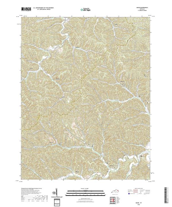
2022 Mazie
Lawrence County, KY
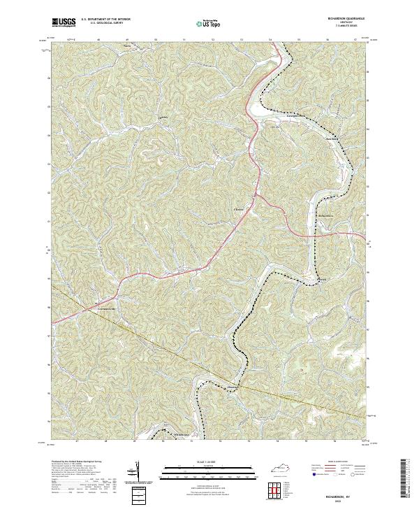
2022 Richardson
Lawrence County, KY
2022 Webbville
Lawrence County, KY