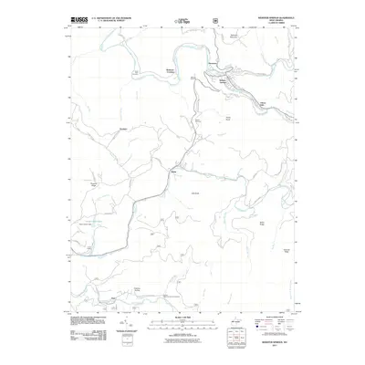
2011 Map of Webster Springs
USGS Topo · Published 2011About this map
Webster Springs and the surrounding river valleys are the focal points of this 2011 survey of Webster County. The Elk River winds through the northern portion of the quadrangle, joined by the Back Fork Elk River near the town center and supporting smaller settlements like Dorrtown and Cherry Falls. Further south, the landscape is defined by the Gauley River and the Williams River, where the community of Dyer and the recreational grounds of Camp Caesar are situated.
Find a feature on this map
64 named features on this map. Tap any name to fly to it.
Don’t see what you’re looking for? This feature index may not catch every label — zoom into the map to look around manually.
Map Details
Editions of this 2011 Webster Springs Map
This is the sole edition of this map. No revisions or reprints were ever made.
Other maps of this area

1889 · Nicholas
USGS Topo · 1:125,000

1891 · Nicholas
USGS Topo · 1:125,000

1891 · Huntersville
USGS Topo · 1:125,000

1893 · Buckhannon
USGS Topo · 1:125,000

1893 · Sutton
USGS Topo · 1:125,000

1894 · Huntersville
USGS Topo · 1:125,000

1896 · Buckhannon
USGS Topo · 1:125,000

1897 · Buckhannon
USGS Topo · 1:125,000

1901 · Nicholas
USGS Topo · 1:125,000

1908 · Sutton
USGS Topo · 1:48,000
Featured Places
- Webster Springs, Addison (Webster Springs)
- Addison (Webster Springs), WV
- Cherry Falls, WV
- Bolair, WV
- Skidmore Crossing, WV